Area Overview for MK16 9PG
Photos of MK16 9PG
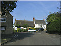
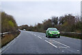
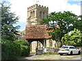
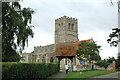
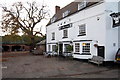
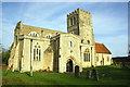
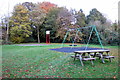
8 photos from this area
Area Information
Key information about the MK16 9PG including its size, population, and administrative classification.
- Area Type
- Postcode
- Area Size
- 6.3 hectares
- Population
- 1313
- Population Density
- 56 people/km²
House Prices in MK16 9PG
13
Properties
£1,044,376
Average Sold Price
£95,000
Lowest Price
£6,566,387
Highest Price
Showing 13 properties
| Address | Type | Beds | Baths | Last Sale Price | Last Sale Date | |
|---|---|---|---|---|---|---|
| 12 Park Road, Sherington, MK16 9PG | Cottage | 2 | 1 | £348,000 | Aug 2025 | |
| 8 Park Road, Sherington, MK16 9PG | house | 2 | 1 | £345,000 | Jul 2019 | |
| 6 Park Road, Sherington, MK16 9PG | house | - | - | £350,000 | Nov 2018 | |
| 14 Park Road, Sherington, MK16 9PG | Detached | 5 | 3 | £6,566,387 | Nov 2017 | |
| 10 Park Road, Sherington, MK16 9PG | house | 2 | - | £260,000 | Jun 2015 | |
| The Barn, 20 Park Road, Sherington, MK16 9PG | house | - | - | £935,000 | Jul 2013 | |
| 2 Park Road, Sherington, MK16 9PG | Semi-detached | - | - | £95,000 | Jun 2001 | |
| 16 Park Road, Sherington, MK16 9PG | Detached | - | - | £350,000 | Sep 1996 | |
| 26 Park Road, Sherington, MK16 9PG | Detached | - | - | £150,000 | Nov 1995 | |
| 18 Park Road, Sherington, MK16 9PG | Detached | - | - | - | - |
Page 1 of 2
Energy Efficiency in MK16 9PG
Amenities
Schools
| Rank | School | Type | Entry gender | Ages |
|---|
Explore more schools in this area
Go to Schools tabDemographics
Household Size
Two person
most common
Accommodation Type
Houses
most common
Tenure
74
majority
Ethnic Group
White
most common
Religion
N/A
most common
Household Composition
N/A
most common
Age
47
median
Adults (30-64 years)
most common
Household Deprivation
N/A
with no deprivation
NS-SEC
43
in Lower managerial occupations
Explore more demographic insights in this area
Go to Demographics tabPlanning
Planning Constraints
- Flood RiskPremium
- Ramsar Wetland SitesPremium
- Area of Outstanding Natural BeautyPremium
- Protected Nature ReservePremium
- Protected WoodlandPremium