Area Overview for ME6 5PR
Photos of ME6 5PR
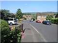
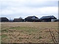
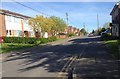
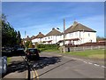
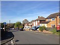
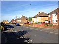
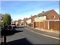
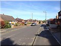
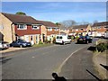
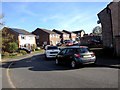
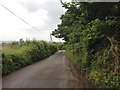
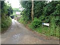
54 photos from this area
Area Information
Key information about the ME6 5PR including its size, population, and administrative classification.
- Area Type
- Postcode
- Area Size
- 1.1 hectares
- Population
- 1245
- Population Density
- 298 people/km²
House Prices in ME6 5PR
24
Properties
£192,291
Average Sold Price
£45,000
Lowest Price
£330,000
Highest Price
Showing 24 properties
| Address | Type | Beds | Baths | Last Sale Price | Last Sale Date | |
|---|---|---|---|---|---|---|
| 10 Pridmore Road, Snodland, ME6 5PR | Terraced | 3 | 1 | £330,000 | Jun 2024 | |
| 11 Pridmore Road, Snodland, ME6 5PR | house | - | - | £260,000 | Feb 2021 | |
| 8 Pridmore Road, Snodland, ME6 5PR | Terraced | 3 | 1 | £262,500 | Feb 2018 | |
| 12 Pridmore Road, Snodland, ME6 5PR | house | - | - | £277,000 | Sep 2016 | |
| 23 Pridmore Road, Snodland, ME6 5PR | house | 4 | - | £225,000 | Oct 2014 | |
| 19 Pridmore Road, Snodland, ME6 5PR | house | - | - | £190,000 | Jan 2014 | |
| Andelain, 25 Pridmore Road, Snodland, ME6 5PR | Terraced | - | - | £193,000 | Dec 2006 | |
| 31 Pridmore Road, Snodland, ME6 5PR | Semi-detached | - | - | £119,000 | Jun 2005 | |
| 2 Pridmore Road, Snodland, ME6 5PR | Detached | 5 | 2 | £225,000 | Sep 2004 | |
| 6 Pridmore Road, Snodland, ME6 5PR | Terraced | 3 | 1 | £123,500 | Sep 2002 |
Page 1 of 3
Energy Efficiency in ME6 5PR
Amenities
Schools
| Rank | School | Type | Entry gender | Ages |
|---|
Explore more schools in this area
Go to Schools tabDemographics
Household Size
One person
most common
Accommodation Type
Houses
most common
Tenure
75
majority
Ethnic Group
White
most common
Religion
N/A
most common
Household Composition
N/A
most common
Age
47
median
Adults (30-64 years)
most common
Household Deprivation
N/A
with no deprivation
NS-SEC
32
in Lower managerial occupations
Explore more demographic insights in this area
Go to Demographics tabPlanning
Planning Constraints
- Flood RiskPremium
- Ramsar Wetland SitesPremium
- Area of Outstanding Natural BeautyPremium
- Protected Nature ReservePremium
- Protected WoodlandPremium