Area Overview for ME6 5HL
Photos of ME6 5HL
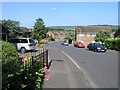
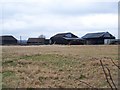
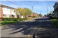
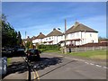
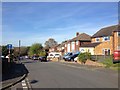
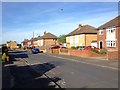
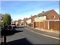
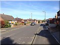
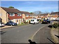
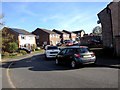
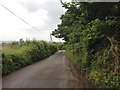
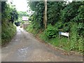
54 photos from this area
Area Information
Key information about the ME6 5HL including its size, population, and administrative classification.
- Area Type
- Postcode
- Area Size
- 2.0 hectares
- Population
- 1717
- Population Density
- 3208 people/km²
House Prices in ME6 5HL
17
Properties
£285,125
Average Sold Price
£101,000
Lowest Price
£405,000
Highest Price
Showing 17 properties
| Address | Type | Beds | Baths | Last Sale Price | Last Sale Date | |
|---|---|---|---|---|---|---|
| 9 Roberts Road, Snodland, ME6 5HL | Semi-detached | 3 | 1 | £378,000 | Sep 2025 | |
| 13 Roberts Road, Snodland, ME6 5HL | Semi-detached | 4 | 2 | £405,000 | Jan 2025 | |
| 32 Roberts Road, Snodland, ME6 5HL | Bungalow | - | - | £275,000 | Feb 2024 | |
| 30 Roberts Road, Snodland, ME6 5HL | Semi-detached | 3 | 1 | £315,000 | Sep 2021 | |
| 21 Roberts Road, Snodland, ME6 5HL | house | - | - | £250,000 | Feb 2019 | |
| 20 Roberts Road, Snodland, ME6 5HL | Semi-detached | 3 | 1 | £320,000 | Oct 2017 | |
| 15 Roberts Road, Snodland, ME6 5HL | Semi-detached | 3 | 1 | £237,000 | Jun 2006 | |
| 16 Roberts Road, Snodland, ME6 5HL | Semi-detached | 2 | 1 | £101,000 | Oct 2000 | |
| The Head Teacher, Snodland C E Primary School, Roberts Road, Snodland, ME6 5HL | Land | - | - | - | - | |
| 11 Roberts Road, Snodland, ME6 5HL | Semi-detached | 3 | 2 | - | - |
Page 1 of 2
Energy Efficiency in ME6 5HL
Amenities
Schools
| Rank | School | Type | Entry gender | Ages |
|---|
Explore more schools in this area
Go to Schools tabDemographics
Household Size
Two person
most common
Accommodation Type
Houses
most common
Tenure
90
majority
Ethnic Group
White
most common
Religion
N/A
most common
Household Composition
N/A
most common
Age
47
median
Adults (30-64 years)
most common
Household Deprivation
N/A
with no deprivation
NS-SEC
30
in Lower managerial occupations
Explore more demographic insights in this area
Go to Demographics tabPlanning
Planning Constraints
- Flood RiskPremium
- Ramsar Wetland SitesPremium
- Area of Outstanding Natural BeautyPremium
- Protected Nature ReservePremium
- Protected WoodlandPremium