Area Overview for ME6 5PS
Photos of ME6 5PS
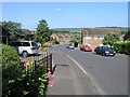
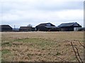
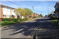
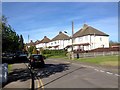
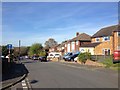
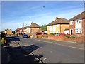
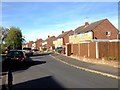
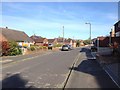
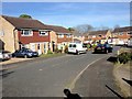
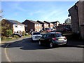
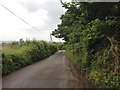
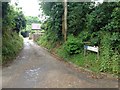
54 photos from this area
Area Information
Key information about the ME6 5PS including its size, population, and administrative classification.
- Area Type
- Postcode
- Area Size
- 1.4 hectares
- Population
- 1245
- Population Density
- 298 people/km²
House Prices in ME6 5PS
66
Properties
£165,407
Average Sold Price
£46,500
Lowest Price
£321,000
Highest Price
Showing 66 properties
| Address | Type | Beds | Baths | Last Sale Price | Last Sale Date | |
|---|---|---|---|---|---|---|
| 49 Bingley Close, Snodland, ME6 5PS | Terraced | 2 | 1 | £230,000 | Jun 2025 | |
| 8 Bingley Close, Snodland, ME6 5PS | Flat | 2 | 1 | £120,000 | Apr 2025 | |
| 29 Bingley Close, Snodland, ME6 5PS | Terraced | 3 | 1 | £321,000 | Mar 2024 | |
| 68 Bingley Close, Snodland, ME6 5PS | Terraced | 2 | 1 | £239,000 | Feb 2024 | |
| 22 Bingley Close, Snodland, ME6 5PS | Flat | 2 | 1 | £185,500 | Oct 2023 | |
| 40 Bingley Close, Snodland, ME6 5PS | Flat | 2 | 1 | £150,000 | Aug 2023 | |
| 24 Bingley Close, Snodland, ME6 5PS | Flat | - | - | £185,000 | Jul 2023 | |
| 15 Bingley Close, Snodland, ME6 5PS | Terraced | 3 | 1 | £315,000 | Jun 2023 | |
| 52 Bingley Close, Snodland, ME6 5PS | Terraced | 2 | 1 | £285,000 | Oct 2022 | |
| 34 Bingley Close, Snodland, ME6 5PS | Flat | - | - | £200,000 | Oct 2022 |
Page 1 of 7
Energy Efficiency in ME6 5PS
Amenities
Schools
| Rank | School | Type | Entry gender | Ages |
|---|
Explore more schools in this area
Go to Schools tabDemographics
Household Size
One person
most common
Accommodation Type
Houses
most common
Tenure
75
majority
Ethnic Group
White
most common
Religion
N/A
most common
Household Composition
N/A
most common
Age
47
median
Adults (30-64 years)
most common
Household Deprivation
N/A
with no deprivation
NS-SEC
32
in Lower managerial occupations
Explore more demographic insights in this area
Go to Demographics tabPlanning
Planning Constraints
- Flood RiskPremium
- Ramsar Wetland SitesPremium
- Area of Outstanding Natural BeautyPremium
- Protected Nature ReservePremium
- Protected WoodlandPremium