Area Overview for KT18 7JA
Photos of KT18 7JA
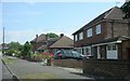
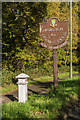
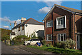
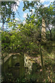
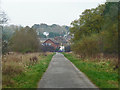
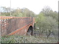
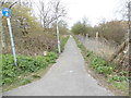
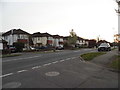
29 photos from this area
Area Information
Key information about the KT18 7JA including its size, population, and administrative classification.
- Area Type
- Postcode
- Area Size
- 1.1 hectares
- Population
- 1840
- Population Density
- 953 people/km²
House Prices in KT18 7JA
31
Properties
£384,571
Average Sold Price
£96,500
Lowest Price
£675,000
Highest Price
Showing 31 properties
| Address | Type | Beds | Baths | Last Sale Price | Last Sale Date | |
|---|---|---|---|---|---|---|
| 76 The Greenway, Epsom, KT18 7JA | Semi-detached | 2 | 1 | £450,000 | Mar 2025 | |
| 126 The Greenway, Epsom, KT18 7JA | Semi-detached | 3 | 1 | £470,000 | May 2024 | |
| 106 The Greenway, Epsom, KT18 7JA | Semi-detached | 3 | 1 | £500,000 | May 2023 | |
| 66 The Greenway, Epsom, KT18 7JA | Semi-detached | 3 | 1 | £675,000 | Nov 2022 | |
| 122 The Greenway, Epsom, KT18 7JA | Retail | 3 | 1 | £495,000 | Sep 2022 | |
| 120 The Greenway, Epsom, KT18 7JA | house | 3 | - | £505,000 | Mar 2021 | |
| 118 The Greenway, Epsom, KT18 7JA | Semi-detached | 3 | 1 | £467,500 | Jan 2017 | |
| 72 The Greenway, Epsom, KT18 7JA | house | 2 | - | £285,000 | May 2011 | |
| 116 The Greenway, Epsom, KT18 7JA | house | - | - | £328,000 | Nov 2009 | |
| 70 The Greenway, Epsom, KT18 7JA | Semi-detached | 3 | 2 | £268,500 | Mar 2007 |
Page 1 of 4
Energy Efficiency in KT18 7JA
Amenities
Schools
| Rank | School | Type | Entry gender | Ages |
|---|
Explore more schools in this area
Go to Schools tabDemographics
Household Size
Family (3-5 people)
most common
Accommodation Type
Houses
most common
Tenure
84
majority
Ethnic Group
White
most common
Religion
N/A
most common
Household Composition
N/A
most common
Age
47
median
Adults (30-64 years)
most common
Household Deprivation
N/A
with no deprivation
NS-SEC
47
in Lower managerial occupations
Explore more demographic insights in this area
Go to Demographics tabPlanning
Planning Constraints
- Flood RiskPremium
- Ramsar Wetland SitesPremium
- Area of Outstanding Natural BeautyPremium
- Protected Nature ReservePremium
- Protected WoodlandPremium