Area Overview for KT18 7LJ
Photos of KT18 7LJ
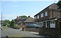
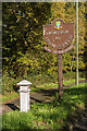
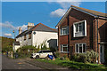
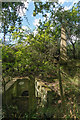
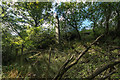
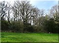
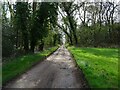
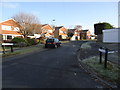
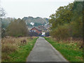
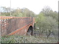
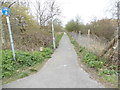
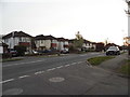
29 photos from this area
Area Information
Key information about the KT18 7LJ including its size, population, and administrative classification.
- Area Type
- Postcode
- Area Size
- 1.7 hectares
- Population
- 1840
- Population Density
- 953 people/km²
House Prices in KT18 7LJ
48
Properties
£371,713
Average Sold Price
£83,000
Lowest Price
£660,000
Highest Price
Showing 48 properties
| Address | Type | Beds | Baths | Last Sale Price | Last Sale Date | |
|---|---|---|---|---|---|---|
| 67 The Crescent, Epsom, KT18 7LJ | Semi-detached | 4 | 3 | £660,000 | Nov 2024 | |
| 37 The Crescent, Epsom, KT18 7LJ | Semi-detached | 3 | 2 | £650,000 | Aug 2024 | |
| 59 The Crescent, Epsom, KT18 7LJ | Semi-detached | 3 | 1 | £569,000 | Aug 2024 | |
| 21 The Crescent, Epsom, KT18 7LJ | Detached | 3 | 2 | £645,000 | Dec 2023 | |
| 69 The Crescent, Epsom, KT18 7LJ | Semi-detached | 3 | 1 | £653,499 | Oct 2022 | |
| 51 The Crescent, Epsom, KT18 7LJ | house | - | - | £407,000 | Mar 2022 | |
| 63 The Crescent, Epsom, KT18 7LJ | house | 3 | - | £530,000 | Aug 2021 | |
| 61 The Crescent, Epsom, KT18 7LJ | Semi-detached | 3 | 2 | £580,000 | Nov 2020 | |
| 1 The Crescent, Epsom, KT18 7LJ | Semi-detached | 3 | 1 | £485,000 | Feb 2019 | |
| 79 The Crescent, Epsom, KT18 7LJ | Maisonette | 2 | 1 | £340,000 | Mar 2018 |
Page 1 of 5
Energy Efficiency in KT18 7LJ
Amenities
Schools
| Rank | School | Type | Entry gender | Ages |
|---|
Explore more schools in this area
Go to Schools tabDemographics
Household Size
Family (3-5 people)
most common
Accommodation Type
Houses
most common
Tenure
84
majority
Ethnic Group
White
most common
Religion
N/A
most common
Household Composition
N/A
most common
Age
47
median
Adults (30-64 years)
most common
Household Deprivation
N/A
with no deprivation
NS-SEC
47
in Lower managerial occupations
Explore more demographic insights in this area
Go to Demographics tabPlanning
Planning Constraints
- Flood RiskPremium
- Ramsar Wetland SitesPremium
- Area of Outstanding Natural BeautyPremium
- Protected Nature ReservePremium
- Protected WoodlandPremium