Area Overview for KT18 6HY
Photos of KT18 6HY
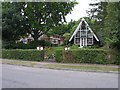
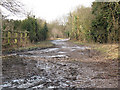
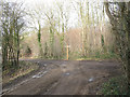
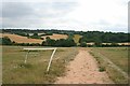
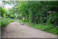

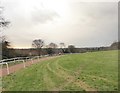
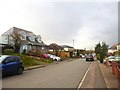
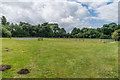
50 photos from this area
Area Information
Key information about the KT18 6HY including its size, population, and administrative classification.
- Area Type
- Postcode
- Area Size
- 12.8 hectares
- Population
- 1516
- Population Density
- 505 people/km²
House Prices in KT18 6HY
36
Properties
£465,330
Average Sold Price
£151,500
Lowest Price
£835,000
Highest Price
Showing 36 properties
| Address | Type | Beds | Baths | Last Sale Price | Last Sale Date | |
|---|---|---|---|---|---|---|
| 39 Beaconsfield Road, Epsom, KT18 6HY | Detached | 4 | 1 | £650,000 | Oct 2023 | |
| 91 Beaconsfield Road, Epsom, KT18 6HY | Detached | 4 | 2 | £835,000 | Feb 2021 | |
| Hazlemere, 45A Beaconsfield Road, Epsom, KT18 6HY | Semi-detached | 4 | 1 | £600,000 | Jun 2020 | |
| 79 Beaconsfield Road, Epsom, KT18 6HY | Bungalow | 3 | 2 | £462,000 | May 2019 | |
| 87 Beaconsfield Road, Epsom, KT18 6HY | Bungalow | 4 | 1 | £565,000 | Jun 2018 | |
| 53 Beaconsfield Road, Epsom, KT18 6HY | Bungalow | 3 | 2 | £595,000 | Jan 2018 | |
| 61 Beaconsfield Road, Epsom, KT18 6HY | Semi-detached | 5 | 2 | £597,500 | Sep 2017 | |
| 81 Beaconsfield Road, Epsom, KT18 6HY | Bungalow | 4 | 2 | £610,000 | May 2017 | |
| 59 Beaconsfield Road, Epsom, KT18 6HY | house | - | - | £612,500 | Jul 2016 | |
| 55 Beaconsfield Road, Epsom, KT18 6HY | Bungalow | 4 | 2 | £565,000 | May 2016 |
Page 1 of 4
Energy Efficiency in KT18 6HY
Amenities
Schools
| Rank | School | Type | Entry gender | Ages |
|---|
Explore more schools in this area
Go to Schools tabDemographics
Household Size
Family (3-5 people)
most common
Accommodation Type
Houses
most common
Tenure
90
majority
Ethnic Group
White
most common
Religion
N/A
most common
Household Composition
N/A
most common
Age
47
median
Adults (30-64 years)
most common
Household Deprivation
N/A
with no deprivation
NS-SEC
48
in Lower managerial occupations
Explore more demographic insights in this area
Go to Demographics tabPlanning
Planning Constraints
- Flood RiskPremium
- Ramsar Wetland SitesPremium
- Area of Outstanding Natural BeautyPremium
- Protected Nature ReservePremium
- Protected WoodlandPremium