Area Overview for KT18 6HS
Photos of KT18 6HS
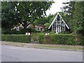
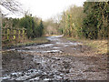
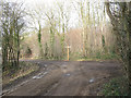
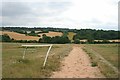
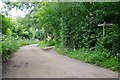
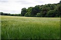
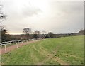
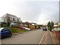
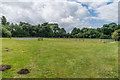
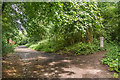
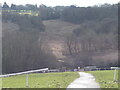
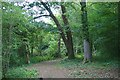
50 photos from this area
Area Information
Key information about the KT18 6HS including its size, population, and administrative classification.
- Area Type
- Postcode
- Area Size
- 25.0 hectares
- Population
- 1516
- Population Density
- 505 people/km²
House Prices in KT18 6HS
35
Properties
£394,734
Average Sold Price
£137,000
Lowest Price
£620,000
Highest Price
Showing 35 properties
| Address | Type | Beds | Baths | Last Sale Price | Last Sale Date | |
|---|---|---|---|---|---|---|
| 94A Beaconsfield Road, Epsom, KT18 6HS | Semi-detached | 3 | 2 | £497,000 | Aug 2024 | |
| 56A Beaconsfield Road, Epsom, KT18 6HS | Semi-detached | 3 | 1 | £485,000 | Oct 2022 | |
| 58 Beaconsfield Road, Epsom, KT18 6HS | Retail | 3 | 1 | £515,000 | Apr 2022 | |
| 66A Beaconsfield Road, Epsom, KT18 6HS | house | - | - | £440,000 | Mar 2021 | |
| 66 Beaconsfield Road, Epsom, KT18 6HS | house | - | - | £550,000 | Feb 2021 | |
| 82 Beaconsfield Road, Epsom, KT18 6HS | Detached | 3 | 2 | £620,000 | Mar 2018 | |
| 62 Beaconsfield Road, Epsom, KT18 6HS | house | - | - | £380,000 | Jan 2018 | |
| 96 Beaconsfield Road, Epsom, KT18 6HS | house | - | - | £470,000 | May 2017 | |
| 96A Beaconsfield Road, Epsom, KT18 6HS | Semi-detached | 3 | 1 | £448,000 | May 2017 | |
| 74 Beaconsfield Road, Epsom, KT18 6HS | Bungalow | 3 | - | £510,000 | Jun 2015 |
Page 1 of 4
Energy Efficiency in KT18 6HS
Amenities
Schools
| Rank | School | Type | Entry gender | Ages |
|---|
Explore more schools in this area
Go to Schools tabDemographics
Household Size
Family (3-5 people)
most common
Accommodation Type
Houses
most common
Tenure
90
majority
Ethnic Group
White
most common
Religion
N/A
most common
Household Composition
N/A
most common
Age
47
median
Adults (30-64 years)
most common
Household Deprivation
N/A
with no deprivation
NS-SEC
48
in Lower managerial occupations
Explore more demographic insights in this area
Go to Demographics tabPlanning
Planning Constraints
- Flood RiskPremium
- Ramsar Wetland SitesPremium
- Area of Outstanding Natural BeautyPremium
- Protected Nature ReservePremium
- Protected WoodlandPremium