Area Overview for KT17 3HN
Photos of KT17 3HN
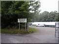
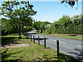
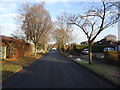
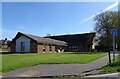
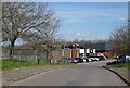
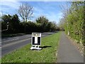
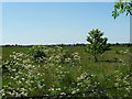
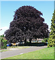
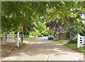
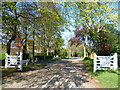
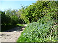
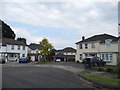
19 photos from this area
Area Information
Key information about the KT17 3HN including its size, population, and administrative classification.
- Area Type
- Postcode
- Area Size
- 4.4 hectares
- Population
- 2489
- Population Density
- 835 people/km²
House Prices in KT17 3HN
7
Properties
£792,286
Average Sold Price
£477,000
Lowest Price
£1,209,000
Highest Price
Showing 7 properties
| Address | Type | Beds | Baths | Last Sale Price | Last Sale Date | |
|---|---|---|---|---|---|---|
| 144 Banstead Road, Banstead, KT17 3HN | Detached | 3 | 1 | £920,000 | Feb 2024 | |
| 138 Banstead Road, Banstead, KT17 3HN | Bungalow | 4 | 2 | £1,209,000 | Apr 2022 | |
| 146 Banstead Road, Banstead, KT17 3HN | Detached | 4 | 3 | £880,000 | Jul 2020 | |
| 136 Banstead Road, Banstead, KT17 3HN | Bungalow | - | - | £680,000 | Oct 2014 | |
| 148 Banstead Road, Banstead, KT17 3HN | house | - | - | £900,000 | Feb 2013 | |
| 140 Banstead Road, Banstead, KT17 3HN | Detached | - | - | £480,000 | Sep 2005 | |
| 142 Banstead Road, Banstead, KT17 3HN | Detached | - | - | £477,000 | Nov 2001 |
Energy Efficiency in KT17 3HN
Amenities
Schools
| Rank | School | Type | Entry gender | Ages |
|---|
Explore more schools in this area
Go to Schools tabDemographics
Household Size
Family (3-5 people)
most common
Accommodation Type
Houses
most common
Tenure
88
majority
Ethnic Group
White
most common
Religion
N/A
most common
Household Composition
N/A
most common
Age
47
median
Adults (30-64 years)
most common
Household Deprivation
N/A
with no deprivation
NS-SEC
52
in Lower managerial occupations
Explore more demographic insights in this area
Go to Demographics tabPlanning
Planning Constraints
- Flood RiskPremium
- Ramsar Wetland SitesPremium
- Area of Outstanding Natural BeautyPremium
- Protected Nature ReservePremium
- Protected WoodlandPremium