Area Overview for SM7 1PS
Photos of SM7 1PS
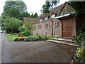
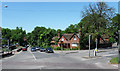
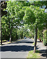
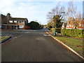
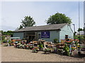
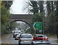
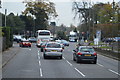
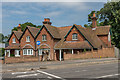
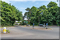
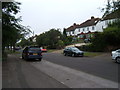
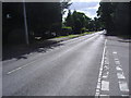
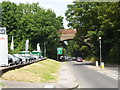
25 photos from this area
Area Information
Key information about the SM7 1PS including its size, population, and administrative classification.
- Area Type
- Postcode
- Area Size
- 11.0 hectares
- Population
- 2489
- Population Density
- 835 people/km²
House Prices in SM7 1PS
21
Properties
£847,231
Average Sold Price
£297,500
Lowest Price
£1,750,000
Highest Price
Showing 21 properties
| Address | Type | Beds | Baths | Last Sale Price | Last Sale Date | |
|---|---|---|---|---|---|---|
| 103 Higher Drive, Banstead, SM7 1PS | Detached | 5 | 3 | £1,750,000 | Jun 2024 | |
| 113 Higher Drive, Banstead, SM7 1PS | house | - | - | £1,275,000 | Jan 2023 | |
| 115 Higher Drive, Banstead, SM7 1PS | Detached | 6 | 3 | £1,150,000 | Jun 2021 | |
| 131 Higher Drive, Banstead, SM7 1PS | Detached | 5 | 4 | £1,310,000 | Dec 2020 | |
| 125 Higher Drive, Banstead, SM7 1PS | Detached | 5 | 4 | £1,200,000 | Mar 2020 | |
| 129 Higher Drive, Banstead, SM7 1PS | Detached | 4 | 2 | £690,000 | Oct 2014 | |
| 117 Higher Drive, Banstead, SM7 1PS | house | - | - | £700,000 | Jan 2008 | |
| 111 Higher Drive, Banstead, SM7 1PS | Detached | 5 | 3 | £706,500 | May 2007 | |
| 95 Higher Drive, Banstead, SM7 1PS | Detached | - | - | £700,000 | Jun 2006 | |
| 121 Higher Drive, Banstead, SM7 1PS | Detached | - | - | £420,000 | Apr 2003 |
Page 1 of 3
Energy Efficiency in SM7 1PS
Amenities
Schools
| Rank | School | Type | Entry gender | Ages |
|---|
Explore more schools in this area
Go to Schools tabDemographics
Household Size
Family (3-5 people)
most common
Accommodation Type
Houses
most common
Tenure
88
majority
Ethnic Group
White
most common
Religion
N/A
most common
Household Composition
N/A
most common
Age
47
median
Adults (30-64 years)
most common
Household Deprivation
N/A
with no deprivation
NS-SEC
52
in Lower managerial occupations
Explore more demographic insights in this area
Go to Demographics tabPlanning
Planning Constraints
- Flood RiskPremium
- Ramsar Wetland SitesPremium
- Area of Outstanding Natural BeautyPremium
- Protected Nature ReservePremium
- Protected WoodlandPremium