Area Overview for KT17 3DH
Photos of KT17 3DH

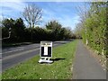
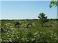
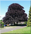
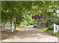
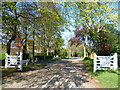
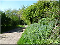
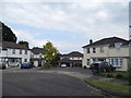
19 photos from this area
Area Information
Key information about the KT17 3DH including its size, population, and administrative classification.
- Area Type
- Postcode
- Area Size
- 30.3 hectares
- Population
- 2489
- Population Density
- 835 people/km²
House Prices in KT17 3DH
9
Properties
£312,500
Average Sold Price
£290,000
Lowest Price
£335,000
Highest Price
Showing 9 properties
| Address | Type | Beds | Baths | Last Sale Price | Last Sale Date | |
|---|---|---|---|---|---|---|
| The Bungalow, Reigate Road, Ewell, KT17 3DH | Detached | - | - | £290,000 | May 2001 | |
| Beech Cottage, Reigate Road, Ewell, KT17 3DH | Semi-detached | 3 | 2 | £335,000 | Aug 1999 | |
| Cherry Tree Farm Cottage, North Looe, Reigate Road, Ewell, KT17 3DH | Detached | 4 | - | - | - | |
| Rosalie, Reigate Road, Ewell, KT17 3DH | house | 3 | - | - | - | |
| Commercial Premises At, Beeches Farm, Reigate Road, Ewell, KT17 3DH | Industrial | - | - | - | - | |
| Longhope, Reigate Road, Ewell, KT17 3DH | Detached | - | - | - | - | |
| Ringstead, Reigate Road, Ewell, KT17 3DH | house | - | - | - | - | |
| Young Farmers Club Hut, Reigate Road, Ewell, KT17 3DH | commercial | - | - | - | - | |
| Beeches Farm, Reigate Road, Ewell, KT17 3DH | Detached | - | - | - | - |
Energy Efficiency in KT17 3DH
Amenities
Schools
| Rank | School | Type | Entry gender | Ages |
|---|
Explore more schools in this area
Go to Schools tabDemographics
Household Size
Family (3-5 people)
most common
Accommodation Type
Houses
most common
Tenure
88
majority
Ethnic Group
White
most common
Religion
N/A
most common
Household Composition
N/A
most common
Age
47
median
Adults (30-64 years)
most common
Household Deprivation
N/A
with no deprivation
NS-SEC
52
in Lower managerial occupations
Explore more demographic insights in this area
Go to Demographics tabPlanning
Planning Constraints
- Flood RiskPremium
- Ramsar Wetland SitesPremium
- Area of Outstanding Natural BeautyPremium
- Protected Nature ReservePremium
- Protected WoodlandPremium