Area Overview for KT17 1NE
Photos of KT17 1NE
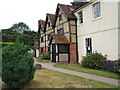
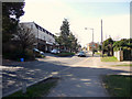
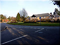

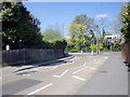
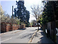
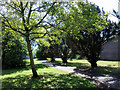

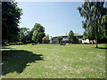
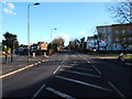
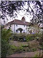

100 photos from this area
Area Information
Key information about the KT17 1NE including its size, population, and administrative classification.
- Area Type
- Postcode
- Area Size
- 5602 m²
- Population
- 1909
- Population Density
- 5099 people/km²
House Prices in KT17 1NE
10
Properties
£312,619
Average Sold Price
£143,000
Lowest Price
£800,000
Highest Price
Showing 10 properties
| Address | Type | Beds | Baths | Last Sale Price | Last Sale Date | |
|---|---|---|---|---|---|---|
| 26 West Gardens, Ewell, KT17 1NE | house | - | - | £800,000 | Dec 2016 | |
| 24 West Gardens, Ewell, KT17 1NE | Detached | 5 | 3 | £495,000 | Jan 2016 | |
| Quarry Tiles, 34 West Gardens, Ewell, KT17 1NE | Detached | - | - | £299,950 | Aug 2006 | |
| 20 West Gardens, Ewell, KT17 1NE | Detached | - | - | £228,500 | Aug 2001 | |
| 40 West Gardens, Ewell, KT17 1NE | Detached | 3 | - | £195,000 | Nov 1999 | |
| 36 West Gardens, Ewell, KT17 1NE | Detached | - | - | £180,000 | Aug 1999 | |
| 38 West Gardens, Ewell, KT17 1NE | Bungalow | 2 | 1 | £159,500 | Jul 1998 | |
| 30 West Gardens, Ewell, KT17 1NE | Detached | - | - | £143,000 | Jun 1997 | |
| 32 West Gardens, Ewell, KT17 1NE | Detached | - | - | - | - | |
| 22 West Gardens, Ewell, KT17 1NE | Detached | - | - | - | - |
Energy Efficiency in KT17 1NE
Amenities
Schools
| Rank | School | Type | Entry gender | Ages |
|---|
Explore more schools in this area
Go to Schools tabDemographics
Household Size
Two person
most common
Accommodation Type
Houses
most common
Tenure
70
majority
Ethnic Group
White
most common
Religion
N/A
most common
Household Composition
N/A
most common
Age
47
median
Adults (30-64 years)
most common
Household Deprivation
N/A
with no deprivation
NS-SEC
45
in Lower managerial occupations
Explore more demographic insights in this area
Go to Demographics tabPlanning
Planning Constraints
- Flood RiskPremium
- Ramsar Wetland SitesPremium
- Area of Outstanding Natural BeautyPremium
- Protected Nature ReservePremium
- Protected WoodlandPremium