Area Overview for HP14 3SQ
Photos of HP14 3SQ
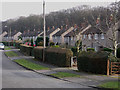
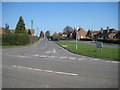
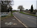
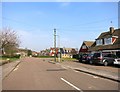
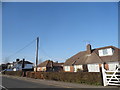
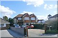
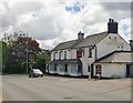
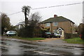
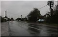
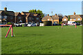

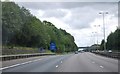
23 photos from this area
Area Information
Key information about the HP14 3SQ including its size, population, and administrative classification.
- Area Type
- Postcode
- Area Size
- 2.5 hectares
- Population
- 1546
- Population Density
- 664 people/km²
House Prices in HP14 3SQ
50
Properties
£356,384
Average Sold Price
£62,000
Lowest Price
£953,000
Highest Price
Showing 50 properties
| Address | Type | Beds | Baths | Last Sale Price | Last Sale Date | |
|---|---|---|---|---|---|---|
| 53 New Road, Stokenchurch, HP14 3SQ | Detached | 3 | 2 | £642,500 | Sep 2024 | |
| 59 New Road, Stokenchurch, HP14 3SQ | Detached | 4 | 2 | £600,000 | Jul 2024 | |
| 42 New Road, Stokenchurch, HP14 3SQ | Terraced | 3 | 1 | £365,000 | Apr 2023 | |
| 50 New Road, Stokenchurch, HP14 3SQ | Retail | 3 | 1 | £452,000 | Oct 2022 | |
| 47 New Road, Stokenchurch, HP14 3SQ | Detached | 4 | - | £953,000 | Apr 2021 | |
| 77 New Road, Stokenchurch, HP14 3SQ | Semi-detached | 3 | 1 | £337,500 | Aug 2019 | |
| Three Trees, 51 New Road, Stokenchurch, HP14 3SQ | Bungalow | 3 | 3 | £520,000 | Jun 2019 | |
| 36 New Road, Stokenchurch, HP14 3SQ | house | - | - | £299,950 | Feb 2017 | |
| 69 New Road, Stokenchurch, HP14 3SQ | house | - | - | £470,000 | Aug 2015 | |
| 85 New Road, Stokenchurch, HP14 3SQ | Bungalow | - | - | £227,000 | Sep 2013 |
Page 1 of 5
Energy Efficiency in HP14 3SQ
Amenities
Schools
| Rank | School | Type | Entry gender | Ages |
|---|
Explore more schools in this area
Go to Schools tabDemographics
Household Size
One person
most common
Accommodation Type
Houses
most common
Tenure
62
majority
Ethnic Group
White
most common
Religion
N/A
most common
Household Composition
N/A
most common
Age
47
median
Adults (30-64 years)
most common
Household Deprivation
N/A
with no deprivation
NS-SEC
35
in Lower managerial occupations
Explore more demographic insights in this area
Go to Demographics tabPlanning
Planning Constraints
- Flood RiskPremium
- Ramsar Wetland SitesPremium
- Area of Outstanding Natural BeautyPremium
- Protected Nature ReservePremium
- Protected WoodlandPremium