Area Overview for GU5 0RH
Photos of GU5 0RH
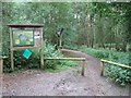
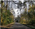
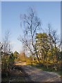
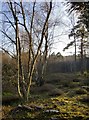
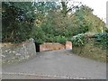
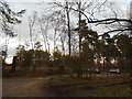
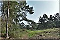
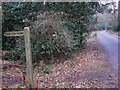
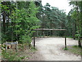
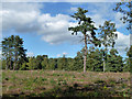

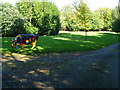
39 photos from this area
Area Information
Key information about the GU5 0RH including its size, population, and administrative classification.
- Area Type
- Postcode
- Area Size
- 30.1 hectares
- Population
- 1872
- Population Density
- 286 people/km²
House Prices in GU5 0RH
18
Properties
£577,444
Average Sold Price
£390,000
Lowest Price
£990,000
Highest Price
Showing 18 properties
| Address | Type | Beds | Baths | Last Sale Price | Last Sale Date | |
|---|---|---|---|---|---|---|
| 6 Littleford Lane, Shamley Green, Guildford, GU5 0RH | Bungalow | 2 | 1 | £600,000 | May 2024 | |
| Lower Littleford, Littleford Lane, Shamley Green, Guildford, GU5 0RH | Detached | - | - | £600,000 | Nov 2009 | |
| Hallams Barn, Littleford Lane, Shamley Green, Guildford, GU5 0RH | Detached | - | - | £990,000 | Dec 2006 | |
| Littlecroft, Littleford Lane, Shamley Green, Guildford, GU5 0RH | Bungalow | - | - | £410,000 | Sep 2006 | |
| Rosebank, Littleford Lane, Shamley Green, Guildford, GU5 0RH | Detached | - | - | £535,000 | Aug 2006 | |
| Gleneesh, 8 Littleford Lane, Shamley Green, Guildford, GU5 0RH | Bungalow | - | - | £390,000 | Jun 2005 | |
| Darbyns Way, 1 Littleford Lane, Shamley Green, Guildford, GU5 0RH | Detached | - | - | £400,000 | Jul 2002 | |
| Woodbury, Littleford Lane, Shamley Green, Guildford, GU5 0RH | Detached | - | - | £595,000 | Jul 2001 | |
| Southbrook, Littleford Lane, Shamley Green, Guildford, GU5 0RH | house | - | - | £677,000 | Jun 1995 | |
| The Dairy, Hallams Farm, Littleford Lane, Shamley Green, Guildford, GU5 0RH | Detached | 4 | 3 | - | - |
Page 1 of 2
Energy Efficiency in GU5 0RH
Amenities
Schools
| Rank | School | Type | Entry gender | Ages |
|---|
Explore more schools in this area
Go to Schools tabDemographics
Household Size
Family (3-5 people)
most common
Accommodation Type
Houses
most common
Tenure
84
majority
Ethnic Group
White
most common
Religion
N/A
most common
Household Composition
N/A
most common
Age
47
median
Adults (30-64 years)
most common
Household Deprivation
N/A
with no deprivation
NS-SEC
51
in Lower managerial occupations
Explore more demographic insights in this area
Go to Demographics tabPlanning
Planning Constraints
- Flood RiskPremium
- Ramsar Wetland SitesPremium
- Area of Outstanding Natural BeautyPremium
- Protected Nature ReservePremium
- Protected WoodlandPremium