Area Overview for GU5 0RB
Photos of GU5 0RB
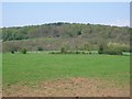
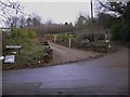
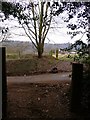
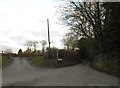
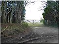
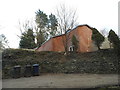
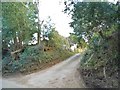
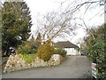
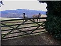
42 photos from this area
Area Information
Key information about the GU5 0RB including its size, population, and administrative classification.
- Area Type
- Postcode
- Area Size
- 48.6 hectares
- Population
- 1872
- Population Density
- 286 people/km²
House Prices in GU5 0RB
13
Properties
£1,490,000
Average Sold Price
£950,000
Lowest Price
£1,925,000
Highest Price
Showing 13 properties
| Address | Type | Beds | Baths | Last Sale Price | Last Sale Date | |
|---|---|---|---|---|---|---|
| Hillside Cottage, Northcote Lane, Shamley Green, Guildford, GU5 0RB | Detached | 4 | 1 | £950,000 | Jun 2021 | |
| High Bank, Northcote Lane, Shamley Green, Guildford, GU5 0RB | Detached | 6 | - | £1,475,000 | Jul 2015 | |
| Lee House, Northcote Lane, Shamley Green, Guildford, GU5 0RB | Bungalow | 4 | - | £1,450,000 | Sep 2012 | |
| Old House, Northcote Lane, Shamley Green, Guildford, GU5 0RB | Detached | - | - | £1,650,000 | Nov 2009 | |
| Northcote Hill, Northcote Lane, Shamley Green, Guildford, GU5 0RB | Detached | - | - | £1,925,000 | Jul 2003 | |
| Northcote Farm, Northcote Lane, Shamley Green, Guildford, GU5 0RB | Detached | 4 | 1 | - | - | |
| Northcote Farm Cottage, Northcote Lane, Shamley Green, Guildford, GU5 0RB | house | 4 | 2 | - | - | |
| Byre, Northcote Lane, Shamley Green, Guildford, GU5 0RB | Semi-detached | 4 | 3 | - | - | |
| Oak Tree Farm, Northcote Lane, Shamley Green, Guildford, GU5 0RB | Detached | 4 | - | - | - | |
| Former Tree Tops, Northcote Lane, Shamley Green, Guildford, GU5 0RB | Land | 4 | 2 | - | - |
Page 1 of 2
Energy Efficiency in GU5 0RB
Amenities
Schools
| Rank | School | Type | Entry gender | Ages |
|---|
Explore more schools in this area
Go to Schools tabDemographics
Household Size
Family (3-5 people)
most common
Accommodation Type
Houses
most common
Tenure
84
majority
Ethnic Group
White
most common
Religion
N/A
most common
Household Composition
N/A
most common
Age
47
median
Adults (30-64 years)
most common
Household Deprivation
N/A
with no deprivation
NS-SEC
51
in Lower managerial occupations
Explore more demographic insights in this area
Go to Demographics tabPlanning
Planning Constraints
- Flood RiskPremium
- Ramsar Wetland SitesPremium
- Area of Outstanding Natural BeautyPremium
- Protected Nature ReservePremium
- Protected WoodlandPremium