Area Overview for GU47 8HA
Photos of GU47 8HA
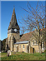
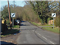
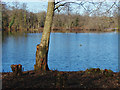
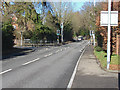
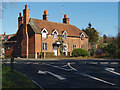
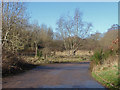
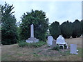
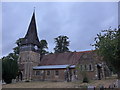
38 photos from this area
Area Information
Key information about the GU47 8HA including its size, population, and administrative classification.
- Area Type
- Postcode
- Area Size
- 5.7 hectares
- Population
- 1794
- Population Density
- 1876 people/km²
House Prices in GU47 8HA
21
Properties
£517,136
Average Sold Price
£240,000
Lowest Price
£900,000
Highest Price
Showing 21 properties
| Address | Type | Beds | Baths | Last Sale Price | Last Sale Date | |
|---|---|---|---|---|---|---|
| 112 High Street, Sandhurst, GU47 8HA | Detached | 3 | 2 | £475,000 | Oct 2024 | |
| 114 High Street, Sandhurst, GU47 8HA | house | - | - | £500,000 | Feb 2024 | |
| 116 High Street, Sandhurst, GU47 8HA | Detached | 4 | 3 | £690,000 | Sep 2023 | |
| 130 High Street, Sandhurst, GU47 8HA | Detached | 5 | 2 | £900,000 | Jan 2022 | |
| Meadow View, 106A High Street, Sandhurst, GU47 8HA | house | - | - | £540,000 | Apr 2021 | |
| 128 High Street, Sandhurst, GU47 8HA | Semi-detached | 2 | - | £274,950 | Jan 2011 | |
| 136 High Street, Sandhurst, GU47 8HA | Semi-detached | - | - | £240,000 | May 2003 | |
| 4, Manuka Court, 142 High Street, Sandhurst, GU47 8HA | Land | 1 | 1 | - | - | |
| Rose Cottage, 122 High Street, Sandhurst, GU47 8HA | Detached | 6 | 3 | - | - | |
| 5, Manuka Court, 142 High Street, Sandhurst, GU47 8HA | Flat | 1 | 1 | - | - |
Page 1 of 3
Energy Efficiency in GU47 8HA
Amenities
Schools
| Rank | School | Type | Entry gender | Ages |
|---|
Explore more schools in this area
Go to Schools tabDemographics
Household Size
Family (3-5 people)
most common
Accommodation Type
Houses
most common
Tenure
85
majority
Ethnic Group
White
most common
Religion
N/A
most common
Household Composition
N/A
most common
Age
47
median
Adults (30-64 years)
most common
Household Deprivation
N/A
with no deprivation
NS-SEC
46
in Lower managerial occupations
Explore more demographic insights in this area
Go to Demographics tabPlanning
Planning Constraints
- Flood RiskPremium
- Ramsar Wetland SitesPremium
- Area of Outstanding Natural BeautyPremium
- Protected Nature ReservePremium
- Protected WoodlandPremium