Area Overview for GU14 9TW
Photos of GU14 9TW
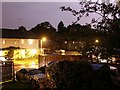
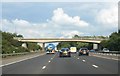
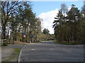
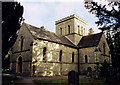
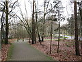
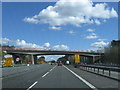
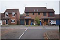
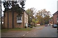
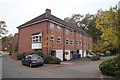
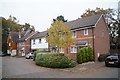
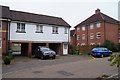
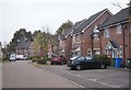
53 photos from this area
Area Information
Key information about the GU14 9TW including its size, population, and administrative classification.
- Area Type
- Postcode
- Area Size
- 1.3 hectares
- Population
- 2477
- Population Density
- 6113 people/km²
House Prices in GU14 9TW
37
Properties
£282,598
Average Sold Price
£85,000
Lowest Price
£475,000
Highest Price
Showing 37 properties
| Address | Type | Beds | Baths | Last Sale Price | Last Sale Date | |
|---|---|---|---|---|---|---|
| 68 Harvey Road, Farnborough, GU14 9TW | Semi-detached | 2 | 1 | £420,000 | Aug 2025 | |
| 6 Harvey Road, Farnborough, GU14 9TW | Semi-detached | 3 | 1 | £315,000 | Nov 2024 | |
| 72 Harvey Road, Farnborough, GU14 9TW | Semi-detached | 3 | 2 | £450,000 | Apr 2024 | |
| 24 Harvey Road, Farnborough, GU14 9TW | Semi-detached | 3 | 1 | £475,000 | Aug 2022 | |
| 8 Harvey Road, Farnborough, GU14 9TW | house | - | - | £360,000 | May 2021 | |
| 70 Harvey Road, Farnborough, GU14 9TW | house | - | - | £430,000 | Nov 2020 | |
| 36 Harvey Road, Farnborough, GU14 9TW | Semi-detached | 4 | 2 | £445,000 | Aug 2020 | |
| 48 Harvey Road, Farnborough, GU14 9TW | Semi-detached | 3 | 1 | £326,000 | Jun 2019 | |
| 32 Harvey Road, Farnborough, GU14 9TW | Semi-detached | 3 | 2 | £355,000 | Feb 2018 | |
| 2 Harvey Road, Farnborough, GU14 9TW | Semi-detached | 3 | 1 | £362,000 | Feb 2017 |
Page 1 of 4
Energy Efficiency in GU14 9TW
Amenities
Schools
| Rank | School | Type | Entry gender | Ages |
|---|
Explore more schools in this area
Go to Schools tabDemographics
Household Size
Family (3-5 people)
most common
Accommodation Type
Houses
most common
Tenure
68
majority
Ethnic Group
White
most common
Religion
N/A
most common
Household Composition
N/A
most common
Age
47
median
Adults (30-64 years)
most common
Household Deprivation
N/A
with no deprivation
NS-SEC
36
in Lower managerial occupations
Explore more demographic insights in this area
Go to Demographics tabPlanning
Planning Constraints
- Flood RiskPremium
- Ramsar Wetland SitesPremium
- Area of Outstanding Natural BeautyPremium
- Protected Nature ReservePremium
- Protected WoodlandPremium