Area Overview for GU14 8PT
Photos of GU14 8PT
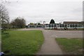
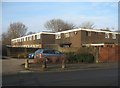
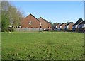
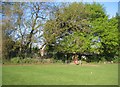
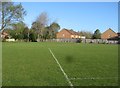
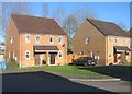
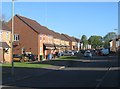
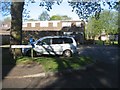
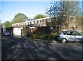
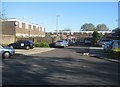
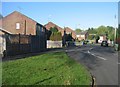
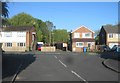
100 photos from this area
Area Information
Key information about the GU14 8PT including its size, population, and administrative classification.
- Area Type
- Postcode
- Area Size
- 7531 m²
- Population
- 1320
- Population Density
- 4760 people/km²
House Prices in GU14 8PT
20
Properties
£225,078
Average Sold Price
£94,950
Lowest Price
£420,000
Highest Price
Showing 20 properties
| Address | Type | Beds | Baths | Last Sale Price | Last Sale Date | |
|---|---|---|---|---|---|---|
| 12 Pitt Way, Farnborough, GU14 8PT | Bungalow | 2 | 1 | £380,000 | Aug 2025 | |
| 24 Pitt Way, Farnborough, GU14 8PT | Semi-detached | 3 | 1 | £420,000 | Nov 2022 | |
| 10 Pitt Way, Farnborough, GU14 8PT | Bungalow | 3 | - | £315,000 | Jan 2019 | |
| 2 Pitt Way, Farnborough, GU14 8PT | Maisonette | 2 | - | £260,000 | Nov 2018 | |
| 16 Pitt Way, Farnborough, GU14 8PT | Bungalow | 4 | - | £305,000 | Feb 2015 | |
| 4A Pitt Way, Farnborough, GU14 8PT | Flat | - | - | £179,950 | Jun 2014 | |
| 20 Pitt Way, Farnborough, GU14 8PT | Bungalow | 3 | - | £235,000 | Jul 2013 | |
| 28 Pitt Way, Farnborough, GU14 8PT | Bungalow | - | - | £200,000 | Sep 2009 | |
| 8 Pitt Way, Farnborough, GU14 8PT | Semi-detached | - | - | £239,950 | May 2009 | |
| 30 Pitt Way, Farnborough, GU14 8PT | Semi-detached | - | - | £195,000 | Dec 2008 |
Page 1 of 2
Energy Efficiency in GU14 8PT
Amenities
Schools
| Rank | School | Type | Entry gender | Ages |
|---|
Explore more schools in this area
Go to Schools tabDemographics
Household Size
Two person
most common
Accommodation Type
Houses
most common
Tenure
78
majority
Ethnic Group
White
most common
Religion
N/A
most common
Household Composition
N/A
most common
Age
47
median
Adults (30-64 years)
most common
Household Deprivation
N/A
with no deprivation
NS-SEC
38
in Lower managerial occupations
Explore more demographic insights in this area
Go to Demographics tabPlanning
Planning Constraints
- Flood RiskPremium
- Ramsar Wetland SitesPremium
- Area of Outstanding Natural BeautyPremium
- Protected Nature ReservePremium
- Protected WoodlandPremium