Area Overview for DA4 9HY
Photos of DA4 9HY
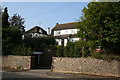
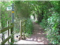
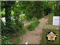
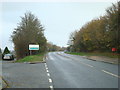
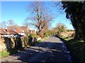
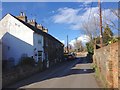
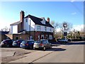
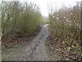
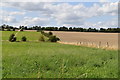
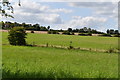
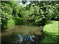
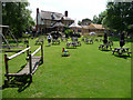
33 photos from this area
Area Information
Key information about the DA4 9HY including its size, population, and administrative classification.
- Area Type
- Postcode
- Area Size
- 17.9 hectares
- Population
- 1297
- Population Density
- 579 people/km²
House Prices in DA4 9HY
19
Properties
£398,500
Average Sold Price
£190,000
Lowest Price
£575,000
Highest Price
Showing 19 properties
| Address | Type | Beds | Baths | Last Sale Price | Last Sale Date | |
|---|---|---|---|---|---|---|
| Croft Cottage, Dartford Road, Sutton At Hone, DA4 9HY | Semi-detached | 4 | 1 | £470,000 | Mar 2025 | |
| Robily, Dartford Road, Sutton At Hone, DA4 9HY | house | - | - | £575,000 | Oct 2020 | |
| Rutherglen, Dartford Road, Sutton At Hone, DA4 9HY | Detached | 4 | 2 | £550,000 | Sep 2016 | |
| Chiverton, Dartford Road, Sutton At Hone, DA4 9HY | house | - | - | £295,000 | Sep 2015 | |
| Bacchante, Dartford Road, Sutton At Hone, DA4 9HY | Semi-detached | 3 | 1 | £320,000 | Sep 2015 | |
| Clon A Lon, Dartford Road, Sutton At Hone, DA4 9HY | Semi-detached | 4 | 2 | £385,000 | Aug 2015 | |
| The Anchorage, Dartford Road, Sutton At Hone, DA4 9HY | Semi-detached | 4 | 2 | £403,000 | Nov 2007 | |
| Netherways, Dartford Road, Sutton At Hone, DA4 9HY | house | - | - | £190,000 | Oct 2000 | |
| Horton View, Dartford Road, Sutton At Hone, DA4 9HY | Detached | 2 | 1 | - | - | |
| Creswick Nurseries, Dartford Road, Sutton At Hone, DA4 9HY | retail_financial | - | - | - | - |
Page 1 of 2
Energy Efficiency in DA4 9HY
Amenities
Schools
| Rank | School | Type | Entry gender | Ages |
|---|
Explore more schools in this area
Go to Schools tabDemographics
Household Size
Family (3-5 people)
most common
Accommodation Type
Houses
most common
Tenure
82
majority
Ethnic Group
White
most common
Religion
N/A
most common
Household Composition
N/A
most common
Age
47
median
Adults (30-64 years)
most common
Household Deprivation
N/A
with no deprivation
NS-SEC
34
in Lower managerial occupations
Explore more demographic insights in this area
Go to Demographics tabPlanning
Planning Constraints
- Flood RiskPremium
- Ramsar Wetland SitesPremium
- Area of Outstanding Natural BeautyPremium
- Protected Nature ReservePremium
- Protected WoodlandPremium