Area Overview for DA4 9HX
Photos of DA4 9HX
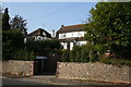
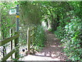
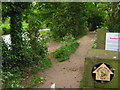
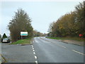
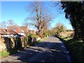
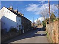
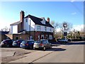
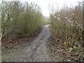
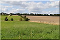
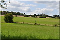
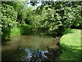
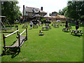
33 photos from this area
Area Information
Key information about the DA4 9HX including its size, population, and administrative classification.
- Area Type
- Postcode
- Area Size
- 25.9 hectares
- Population
- 1507
- Population Density
- 335 people/km²
House Prices in DA4 9HX
10
Properties
£391,500
Average Sold Price
£195,000
Lowest Price
£505,000
Highest Price
Showing 10 properties
| Address | Type | Beds | Baths | Last Sale Price | Last Sale Date | |
|---|---|---|---|---|---|---|
| Valley View, Dartford Road, Horton Kirby, DA4 9HX | house | - | - | £475,000 | Oct 2019 | |
| Tanhurst, Dartford Road, Horton Kirby, DA4 9HX | house | - | - | £440,000 | Jun 2017 | |
| Redmayne, Dartford Road, Horton Kirby, DA4 9HX | Detached | 3 | 2 | £505,000 | Nov 2016 | |
| Hillcroft, Dartford Road, Horton Kirby, DA4 9HX | house | 4 | - | £395,000 | Jul 2013 | |
| Little Tew, Dartford Road, Horton Kirby, DA4 9HX | Detached | - | - | £440,000 | Sep 2006 | |
| Point Pleasant, Dartford Road, Horton Kirby, DA4 9HX | Detached | 4 | 2 | £345,000 | May 2004 | |
| Birchwood, Dartford Road, Horton Kirby, DA4 9HX | Detached | - | - | £337,000 | Oct 2003 | |
| Ewhurst, Dartford Road, Horton Kirby, DA4 9HX | Semi-detached | 3 | 2 | £195,000 | Aug 2001 | |
| Westminster House, Dartford Road, Horton Kirby, DA4 9HX | Detached | - | - | - | - | |
| The Rudlands, Dartford Road, Horton Kirby, DA4 9HX | Semi-detached | - | - | - | - |
Energy Efficiency in DA4 9HX
Amenities
Schools
| Rank | School | Type | Entry gender | Ages |
|---|
Explore more schools in this area
Go to Schools tabDemographics
Household Size
Two person
most common
Accommodation Type
Houses
most common
Tenure
78
majority
Ethnic Group
White
most common
Religion
N/A
most common
Household Composition
N/A
most common
Age
47
median
Adults (30-64 years)
most common
Household Deprivation
N/A
with no deprivation
NS-SEC
37
in Lower managerial occupations
Explore more demographic insights in this area
Go to Demographics tabPlanning
Planning Constraints
- Flood RiskPremium
- Ramsar Wetland SitesPremium
- Area of Outstanding Natural BeautyPremium
- Protected Nature ReservePremium
- Protected WoodlandPremium