Area Overview for DA4 9HJ
Photos of DA4 9HJ


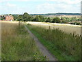
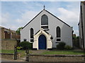
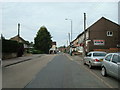
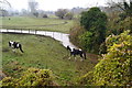
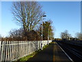
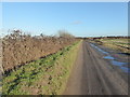
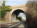

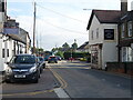
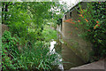
35 photos from this area
Area Information
Key information about the DA4 9HJ including its size, population, and administrative classification.
- Area Type
- Postcode
- Area Size
- 10.8 hectares
- Population
- 1297
- Population Density
- 579 people/km²
House Prices in DA4 9HJ
38
Properties
£288,825
Average Sold Price
£107,000
Lowest Price
£475,000
Highest Price
Showing 38 properties
| Address | Type | Beds | Baths | Last Sale Price | Last Sale Date | |
|---|---|---|---|---|---|---|
| 234 Main Road, Sutton At Hone, DA4 9HJ | Semi-detached | 2 | 1 | £280,000 | Feb 2024 | |
| 280 Main Road, Sutton At Hone, DA4 9HJ | Semi-detached | 3 | 1 | £475,000 | Oct 2022 | |
| 254 Main Road, Sutton At Hone, DA4 9HJ | Bungalow | - | - | £340,000 | Feb 2022 | |
| 238 Main Road, Sutton At Hone, DA4 9HJ | house | - | - | £325,000 | Dec 2021 | |
| 268 Main Road, Sutton At Hone, DA4 9HJ | house | 3 | 1 | £365,000 | Jun 2021 | |
| 242 Main Road, Sutton At Hone, DA4 9HJ | Semi-detached | 3 | 1 | £387,500 | Mar 2021 | |
| 226 Main Road, Sutton At Hone, DA4 9HJ | house | - | - | £344,000 | Mar 2021 | |
| 250 Main Road, Sutton At Hone, DA4 9HJ | Bungalow | 2 | 1 | £385,000 | Feb 2021 | |
| 276-278 Main Road, Sutton At Hone, DA4 9HJ | house | - | - | £385,000 | Dec 2020 | |
| 252 Main Road, Sutton At Hone, DA4 9HJ | Semi-detached | 3 | 1 | £380,000 | May 2020 |
Page 1 of 4
Energy Efficiency in DA4 9HJ
Amenities
Schools
| Rank | School | Type | Entry gender | Ages |
|---|
Explore more schools in this area
Go to Schools tabDemographics
Household Size
Family (3-5 people)
most common
Accommodation Type
Houses
most common
Tenure
82
majority
Ethnic Group
White
most common
Religion
N/A
most common
Household Composition
N/A
most common
Age
47
median
Adults (30-64 years)
most common
Household Deprivation
N/A
with no deprivation
NS-SEC
34
in Lower managerial occupations
Explore more demographic insights in this area
Go to Demographics tabPlanning
Planning Constraints
- Flood RiskPremium
- Ramsar Wetland SitesPremium
- Area of Outstanding Natural BeautyPremium
- Protected Nature ReservePremium
- Protected WoodlandPremium