Area Overview for DA1 1TF
Photos of DA1 1TF
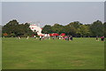
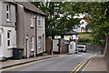
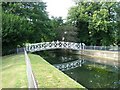
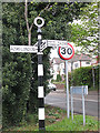
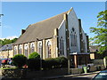
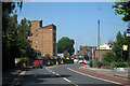
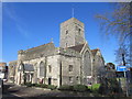
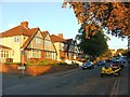
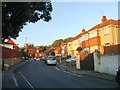
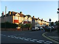
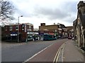
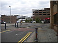
100 photos from this area
Area Information
Key information about the DA1 1TF including its size, population, and administrative classification.
- Area Type
- Postcode
- Area Size
- 5215 m²
- Population
- 2059
- Population Density
- 10020 people/km²
House Prices in DA1 1TF
27
Properties
£200,143
Average Sold Price
£54,000
Lowest Price
£330,000
Highest Price
Showing 27 properties
| Address | Type | Beds | Baths | Last Sale Price | Last Sale Date | |
|---|---|---|---|---|---|---|
| 27 St Albans Road, Dartford, DA1 1TF | house | 2 | 1 | £288,000 | Oct 2023 | |
| 21 St Albans Road, Dartford, DA1 1TF | Terraced | 2 | 1 | £330,000 | Dec 2022 | |
| 15 St Albans Road, Dartford, DA1 1TF | Terraced | 3 | 1 | £305,000 | Aug 2019 | |
| 13 St Albans Road, Dartford, DA1 1TF | Terraced | 3 | 1 | £292,000 | Feb 2019 | |
| 9 St Albans Road, Dartford, DA1 1TF | Terraced | 3 | 1 | £300,000 | Nov 2018 | |
| 26 St Albans Road, Dartford, DA1 1TF | house | 2 | - | £195,000 | Jul 2015 | |
| 11 St Albans Road, Dartford, DA1 1TF | Terraced | 3 | 1 | £132,000 | Mar 2013 | |
| 29 St Albans Road, Dartford, DA1 1TF | house | 2 | 1 | £123,000 | Apr 2012 | |
| 16 St Albans Road, Dartford, DA1 1TF | Terraced | 2 | 1 | £140,000 | Nov 2011 | |
| 5 St Albans Road, Dartford, DA1 1TF | house | - | - | £165,000 | Jul 2010 |
Page 1 of 3
Energy Efficiency in DA1 1TF
Amenities
Schools
| Rank | School | Type | Entry gender | Ages |
|---|
Explore more schools in this area
Go to Schools tabDemographics
Household Size
Family (3-5 people)
most common
Accommodation Type
Houses
most common
Tenure
67
majority
Ethnic Group
White
most common
Religion
N/A
most common
Household Composition
N/A
most common
Age
47
median
Adults (30-64 years)
most common
Household Deprivation
N/A
with no deprivation
NS-SEC
31
in Lower managerial occupations
Explore more demographic insights in this area
Go to Demographics tabPlanning
Planning Constraints
- Flood RiskPremium
- Ramsar Wetland SitesPremium
- Area of Outstanding Natural BeautyPremium
- Protected Nature ReservePremium
- Protected WoodlandPremium