Area Overview for DA1 1SB
Photos of DA1 1SB
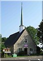
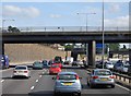
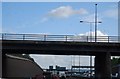
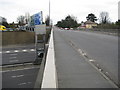

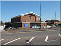
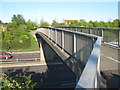
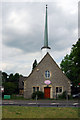
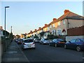
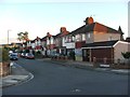
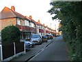
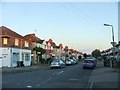
77 photos from this area
Area Information
Key information about the DA1 1SB including its size, population, and administrative classification.
- Area Type
- Postcode
- Area Size
- 1.3 hectares
- Population
- 2059
- Population Density
- 10020 people/km²
House Prices in DA1 1SB
33
Properties
£184,188
Average Sold Price
£52,500
Lowest Price
£345,000
Highest Price
Showing 33 properties
| Address | Type | Beds | Baths | Last Sale Price | Last Sale Date | |
|---|---|---|---|---|---|---|
| 114 East Hill, Dartford, DA1 1SB | Flat | - | - | £160,000 | Nov 2021 | |
| 112 East Hill, Dartford, DA1 1SB | house | - | - | £345,000 | Aug 2021 | |
| 110 East Hill, Dartford, DA1 1SB | house | - | - | £290,000 | Mar 2021 | |
| 142 East Hill, Dartford, DA1 1SB | Semi-detached | 2 | 1 | £277,500 | Jul 2018 | |
| 108 East Hill, Dartford, DA1 1SB | Terraced | 5 | - | £267,500 | Sep 2015 | |
| 136 East Hill, Dartford, DA1 1SB | house | - | - | £158,500 | Oct 2010 | |
| 124 East Hill, Dartford, DA1 1SB | house | - | - | £156,000 | Jan 2010 | |
| 100 East Hill, Dartford, DA1 1SB | Semi-detached | - | - | £185,000 | Nov 2007 | |
| 126 East Hill, Dartford, DA1 1SB | Terraced | - | - | £143,995 | Jul 2006 | |
| Robin Murray & Co, St Albans House, 98 East Hill, Dartford, DA1 1SB | Detached | 1 | 1 | £175,000 | Jan 2003 |
Page 1 of 4
Energy Efficiency in DA1 1SB
Amenities
Schools
| Rank | School | Type | Entry gender | Ages |
|---|
Explore more schools in this area
Go to Schools tabDemographics
Household Size
Family (3-5 people)
most common
Accommodation Type
Houses
most common
Tenure
67
majority
Ethnic Group
White
most common
Religion
N/A
most common
Household Composition
N/A
most common
Age
47
median
Adults (30-64 years)
most common
Household Deprivation
N/A
with no deprivation
NS-SEC
31
in Lower managerial occupations
Explore more demographic insights in this area
Go to Demographics tabPlanning
Planning Constraints
- Flood RiskPremium
- Ramsar Wetland SitesPremium
- Area of Outstanding Natural BeautyPremium
- Protected Nature ReservePremium
- Protected WoodlandPremium