Area Overview for BN15 0EX
Photos of BN15 0EX
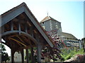
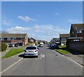
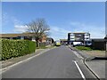
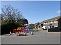
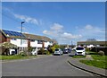
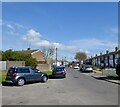
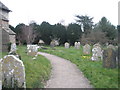
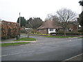
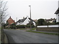
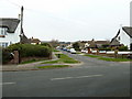
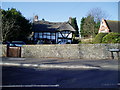
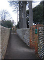
51 photos from this area
Area Information
Key information about the BN15 0EX including its size, population, and administrative classification.
- Area Type
- Postcode
- Area Size
- 1.2 hectares
- Population
- Not available
- Population Density
- Not available
House Prices in BN15 0EX
11
Properties
£205,000
Average Sold Price
£104,000
Lowest Price
£306,000
Highest Price
Showing 11 properties
| Address | Type | Beds | Baths | Last Sale Price | Last Sale Date | |
|---|---|---|---|---|---|---|
| Greytiles, Upper West Lane, Lancing, BN15 0EX | Bungalow | - | - | £306,000 | Feb 2010 | |
| Faber, Upper West Lane, Lancing, BN15 0EX | Semi-detached | 3 | - | £104,000 | Aug 1999 | |
| Poppys, Upper West Lane, Lancing, BN15 0EX | Bungalow | 2 | 1 | - | - | |
| Hall Lodge, 2 Upper West Lane, Lancing, BN15 0EX | house | - | - | - | - | |
| Oak Hall, 1 Upper West Lane, Lancing, BN15 0EX | Semi-detached | 3 | 1 | - | - | |
| Cemetery, Upper Brighton Road, Lancing, BN15 0EX | commercial | - | - | - | - | |
| Stonehaven, Upper West Lane, Lancing, BN15 0EX | Detached | - | - | - | - | |
| Rose Cottage, Upper West Lane, Lancing, BN15 0EX | Bungalow | - | - | - | - | |
| Glebe House, Upper West Lane, Lancing, BN15 0EX | Detached | - | - | - | - | |
| Vinehaven, Upper West Lane, Lancing, BN15 0EX | Detached | - | - | - | - |
Page 1 of 2
Energy Efficiency in BN15 0EX
Amenities
Schools
| Rank | School | Type | Entry gender | Ages |
|---|
Explore more schools in this area
Go to Schools tabDemographics
Household Size
Two person
most common
Accommodation Type
Houses
most common
Tenure
86
majority
Ethnic Group
White
most common
Religion
N/A
most common
Household Composition
N/A
most common
Age
47
median
Adults (30-64 years)
most common
Household Deprivation
N/A
with no deprivation
NS-SEC
32
in Lower managerial occupations
Explore more demographic insights in this area
Go to Demographics tabPlanning
Planning Constraints
- Flood RiskPremium
- Ramsar Wetland SitesPremium
- Area of Outstanding Natural BeautyPremium
- Protected Nature ReservePremium
- Protected WoodlandPremium