Area Overview for BN15 0HG
Photos of BN15 0HG
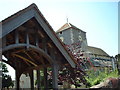
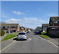
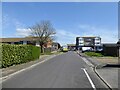
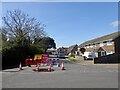
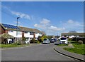
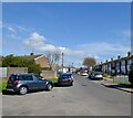
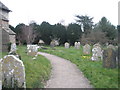
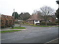
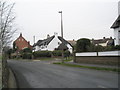
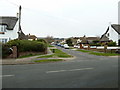
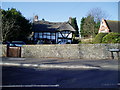
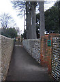
51 photos from this area
Area Information
Key information about the BN15 0HG including its size, population, and administrative classification.
- Area Type
- Postcode
- Area Size
- 1.4 hectares
- Population
- Not available
- Population Density
- Not available
House Prices in BN15 0HG
28
Properties
£348,497
Average Sold Price
£81,950
Lowest Price
£575,000
Highest Price
Showing 28 properties
| Address | Type | Beds | Baths | Last Sale Price | Last Sale Date | |
|---|---|---|---|---|---|---|
| 73 Manor Road, Lancing, BN15 0HG | Bungalow | 4 | 2 | £575,000 | Dec 2023 | |
| 34 Manor Road, Lancing, BN15 0HG | Semi-detached | 3 | 2 | £404,500 | Aug 2023 | |
| 93 Manor Road, Lancing, BN15 0HG | Bungalow | 2 | 1 | £342,000 | May 2023 | |
| 77 Manor Road, Lancing, BN15 0HG | Bungalow | 2 | - | £425,000 | Jun 2021 | |
| 52 Manor Road, Lancing, BN15 0HG | Detached | 2 | 1 | £376,000 | Nov 2019 | |
| 68 Manor Road, Lancing, BN15 0HG | Bungalow | 5 | 2 | £429,000 | Aug 2018 | |
| The Cottage, 75 Manor Road, Lancing, BN15 0HG | Detached | 2 | 1 | £255,000 | Dec 2017 | |
| 95 Manor Road, Lancing, BN15 0HG | Bungalow | 3 | 1 | £325,000 | Jan 2015 | |
| 54 Manor Road, Lancing, BN15 0HG | Detached | 4 | - | £555,000 | Nov 2013 | |
| 97 Manor Road, Lancing, BN15 0HG | Bungalow | 3 | - | £240,000 | Aug 2013 |
Page 1 of 3
Energy Efficiency in BN15 0HG
Amenities
Schools
| Rank | School | Type | Entry gender | Ages |
|---|
Explore more schools in this area
Go to Schools tabDemographics
Household Size
Two person
most common
Accommodation Type
Houses
most common
Tenure
86
majority
Ethnic Group
White
most common
Religion
N/A
most common
Household Composition
N/A
most common
Age
47
median
Adults (30-64 years)
most common
Household Deprivation
N/A
with no deprivation
NS-SEC
32
in Lower managerial occupations
Explore more demographic insights in this area
Go to Demographics tabPlanning
Planning Constraints
- Flood RiskPremium
- Ramsar Wetland SitesPremium
- Area of Outstanding Natural BeautyPremium
- Protected Nature ReservePremium
- Protected WoodlandPremium