Area Overview for BN15 0EY
Photos of BN15 0EY
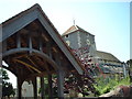
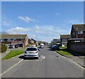
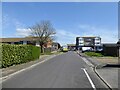
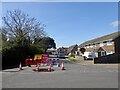
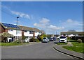
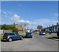
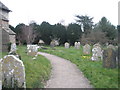
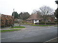
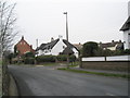
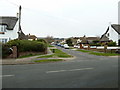
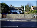
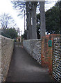
51 photos from this area
Area Information
Key information about the BN15 0EY including its size, population, and administrative classification.
- Area Type
- Postcode
- Area Size
- 1.8 hectares
- Population
- Not available
- Population Density
- Not available
House Prices in BN15 0EY
12
Properties
£408,500
Average Sold Price
£119,000
Lowest Price
£620,000
Highest Price
Showing 12 properties
| Address | Type | Beds | Baths | Last Sale Price | Last Sale Date | |
|---|---|---|---|---|---|---|
| Vicarage, 63 Manor Road, Lancing, BN15 0EY | Detached | 6 | 3 | £620,000 | Sep 2019 | |
| 53 Manor Road, Lancing, BN15 0EY | Detached | - | - | £380,000 | Jun 2009 | |
| 61 Manor Road, Lancing, BN15 0EY | Detached | - | - | £515,000 | Mar 2006 | |
| 22 Manor Road, Lancing, BN15 0EY | Detached | - | - | £119,000 | Mar 1996 | |
| 20 Manor Road, Lancing, BN15 0EY | Detached | 5 | 3 | - | - | |
| 16 Manor Road, Lancing, BN15 0EY | Detached | 5 | - | - | - | |
| 43A Manor Road, Lancing, BN15 0EY | Flat | - | - | - | - | |
| Managers Flat, Miller And Carter, 43 Manor Road, Lancing, BN15 0EY | Flat | - | - | - | - | |
| Miller And Carter, 43 Manor Road, Lancing, BN15 0EY | Leisure | - | - | - | - | |
| Southover, 18 Manor Road, Lancing, BN15 0EY | Detached | - | - | - | - |
Page 1 of 2
Energy Efficiency in BN15 0EY
Amenities
Schools
| Rank | School | Type | Entry gender | Ages |
|---|
Explore more schools in this area
Go to Schools tabDemographics
Household Size
Two person
most common
Accommodation Type
Houses
most common
Tenure
86
majority
Ethnic Group
White
most common
Religion
N/A
most common
Household Composition
N/A
most common
Age
47
median
Adults (30-64 years)
most common
Household Deprivation
N/A
with no deprivation
NS-SEC
32
in Lower managerial occupations
Explore more demographic insights in this area
Go to Demographics tabPlanning
Planning Constraints
- Flood RiskPremium
- Ramsar Wetland SitesPremium
- Area of Outstanding Natural BeautyPremium
- Protected Nature ReservePremium
- Protected WoodlandPremium