Area Overview for SK9 4AG
Photos of SK9 4AG

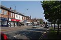
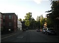
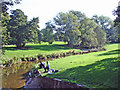
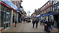
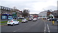
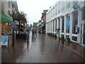
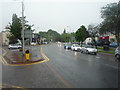
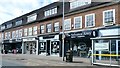
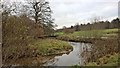
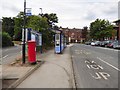
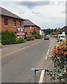
96 photos from this area
Area Information
Key information about the SK9 4AG including its size, population, and administrative classification.
- Area Type
- Postcode
- Area Size
- 3.0 hectares
- Population
- 1780
- Population Density
- 1573 people/km²
House Prices in SK9 4AG
32
Properties
£761,467
Average Sold Price
£65,000
Lowest Price
£1,730,000
Highest Price
Showing 32 properties
| Address | Type | Beds | Baths | Last Sale Price | Last Sale Date | |
|---|---|---|---|---|---|---|
| The Studios, 30 Styal Road, Wilmslow, SK9 4AG | Detached | 4 | 2 | £945,000 | Oct 2024 | |
| 24 Styal Road, Wilmslow, SK9 4AG | Detached | 5 | 4 | £750,000 | Jan 2024 | |
| 22 Styal Road, Wilmslow, SK9 4AG | Detached | 4 | 3 | £1,200,000 | Mar 2022 | |
| 21 Styal Road, Wilmslow, SK9 4AG | Detached | 5 | 4 | £1,730,000 | Jul 2021 | |
| 42 Styal Road, Wilmslow, SK9 4AG | Detached | 4 | - | £735,000 | Nov 2020 | |
| 32 Styal Road, Wilmslow, SK9 4AG | Bungalow | 4 | 2 | £580,000 | Dec 2018 | |
| 34 Styal Road, Wilmslow, SK9 4AG | house | - | - | £592,500 | Apr 2018 | |
| 28 Styal Road, Wilmslow, SK9 4AG | Detached | 5 | 4 | £1,250,000 | Jan 2018 | |
| 48 Styal Road, Wilmslow, SK9 4AG | Detached | 6 | 3 | £875,000 | Jan 2018 | |
| 23 Styal Road, Wilmslow, SK9 4AG | Detached | 5 | - | £1,335,000 | Oct 2016 |
Page 1 of 4
Energy Efficiency in SK9 4AG
Amenities
Schools
| Rank | School | Type | Entry gender | Ages |
|---|
Explore more schools in this area
Go to Schools tabDemographics
Household Size
One person
most common
Accommodation Type
Houses
most common
Tenure
67
majority
Ethnic Group
White
most common
Religion
N/A
most common
Household Composition
N/A
most common
Age
47
median
Adults (30-64 years)
most common
Household Deprivation
N/A
with no deprivation
NS-SEC
59
in Lower managerial occupations
Explore more demographic insights in this area
Go to Demographics tabPlanning
Planning Constraints
- Flood RiskPremium
- Ramsar Wetland SitesPremium
- Area of Outstanding Natural BeautyPremium
- Protected Nature ReservePremium
- Protected WoodlandPremium