Area Overview for SK5 6GA
Photos of SK5 6GA
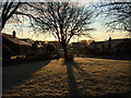
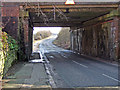
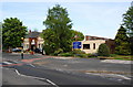
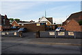
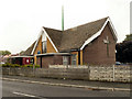
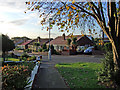
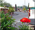
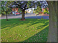
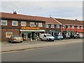
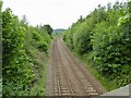
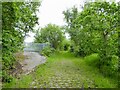
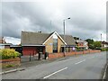
53 photos from this area
Area Information
Key information about the SK5 6GA including its size, population, and administrative classification.
- Area Type
- Postcode
- Area Size
- 3.4 hectares
- Population
- 1599
- Population Density
- 6516 people/km²
House Prices in SK5 6GA
70
Properties
£148,497
Average Sold Price
£89,950
Lowest Price
£318,500
Highest Price
Showing 70 properties
| Address | Type | Beds | Baths | Last Sale Price | Last Sale Date | |
|---|---|---|---|---|---|---|
| 3 Cromwell Avenue, Denton, SK5 6GA | Flat | 4 | - | £148,500 | Aug 2024 | |
| 57 Cromwell Avenue, Denton, SK5 6GA | Flat | - | - | £155,750 | Mar 2024 | |
| 133 Cromwell Avenue, Denton, SK5 6GA | Flat | 1 | 1 | £115,600 | Mar 2024 | |
| 33 Cromwell Avenue, Denton, SK5 6GA | Terraced | 4 | 2 | £270,000 | Mar 2024 | |
| 97 Cromwell Avenue, Denton, SK5 6GA | Flat | 2 | - | £136,000 | Oct 2023 | |
| 105 Cromwell Avenue, Denton, SK5 6GA | Flat | - | - | £140,000 | Sep 2023 | |
| 31 Cromwell Avenue, Denton, SK5 6GA | Semi-detached | 4 | 2 | £318,500 | Jul 2023 | |
| 87 Cromwell Avenue, Denton, SK5 6GA | Flat | 2 | - | £120,000 | Jul 2023 | |
| 7 Cromwell Avenue, Denton, SK5 6GA | Flat | 2 | 1 | £132,000 | Nov 2022 | |
| 17 Cromwell Avenue, Denton, SK5 6GA | Flat | 2 | 2 | £145,000 | Nov 2022 |
Page 1 of 7
Energy Efficiency in SK5 6GA
Amenities
Schools
| Rank | School | Type | Entry gender | Ages |
|---|
Explore more schools in this area
Go to Schools tabDemographics
Household Size
Family (3-5 people)
most common
Accommodation Type
Houses
most common
Tenure
85
majority
Ethnic Group
White
most common
Religion
N/A
most common
Household Composition
N/A
most common
Age
47
median
Adults (30-64 years)
most common
Household Deprivation
N/A
with no deprivation
NS-SEC
35
in Lower managerial occupations
Explore more demographic insights in this area
Go to Demographics tabPlanning
Planning Constraints
- Flood RiskPremium
- Ramsar Wetland SitesPremium
- Area of Outstanding Natural BeautyPremium
- Protected Nature ReservePremium
- Protected WoodlandPremium