Area Overview for M34 2LH
Photos of M34 2LH
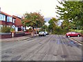
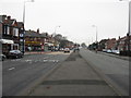
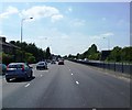
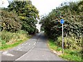
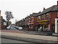
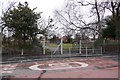
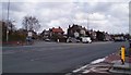
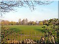
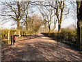
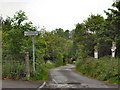
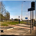
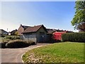
43 photos from this area
Area Information
Key information about the M34 2LH including its size, population, and administrative classification.
- Area Type
- Postcode
- Area Size
- 2.5 hectares
- Population
- 1599
- Population Density
- 6516 people/km²
House Prices in M34 2LH
28
Properties
£141,356
Average Sold Price
£49,000
Lowest Price
£256,000
Highest Price
Showing 28 properties
| Address | Type | Beds | Baths | Last Sale Price | Last Sale Date | |
|---|---|---|---|---|---|---|
| 3 Manton Avenue, Denton, M34 2LH | house | - | - | £256,000 | Jun 2024 | |
| 10 Manton Avenue, Denton, M34 2LH | Semi-detached | 3 | 1 | £236,000 | Apr 2024 | |
| 24 Manton Avenue, Denton, M34 2LH | Semi-detached | 3 | 1 | £230,000 | Jun 2023 | |
| 17 Manton Avenue, Denton, M34 2LH | Semi-detached | 3 | 1 | £208,000 | May 2019 | |
| 25 Manton Avenue, Denton, M34 2LH | house | - | - | £165,000 | Sep 2017 | |
| 8 Manton Avenue, Denton, M34 2LH | Semi-detached | 3 | 1 | £131,000 | Dec 2015 | |
| 18 Manton Avenue, Denton, M34 2LH | house | - | - | £125,000 | Feb 2014 | |
| 27 Manton Avenue, Denton, M34 2LH | house | - | - | £135,000 | Dec 2012 | |
| 26 Manton Avenue, Denton, M34 2LH | house | - | - | £119,000 | Nov 2012 | |
| 5 Manton Avenue, Denton, M34 2LH | Terraced | 3 | 1 | £120,000 | Mar 2007 |
Page 1 of 3
Energy Efficiency in M34 2LH
Amenities
Schools
| Rank | School | Type | Entry gender | Ages |
|---|
Explore more schools in this area
Go to Schools tabDemographics
Household Size
Family (3-5 people)
most common
Accommodation Type
Houses
most common
Tenure
85
majority
Ethnic Group
White
most common
Religion
N/A
most common
Household Composition
N/A
most common
Age
47
median
Adults (30-64 years)
most common
Household Deprivation
N/A
with no deprivation
NS-SEC
35
in Lower managerial occupations
Explore more demographic insights in this area
Go to Demographics tabPlanning
Planning Constraints
- Flood RiskPremium
- Ramsar Wetland SitesPremium
- Area of Outstanding Natural BeautyPremium
- Protected Nature ReservePremium
- Protected WoodlandPremium