Area Overview for SK12 1NU
Photos of SK12 1NU
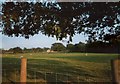
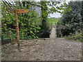
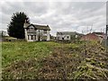
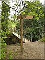
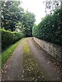
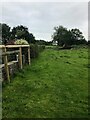

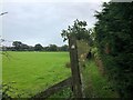
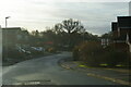
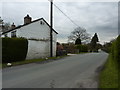
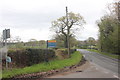
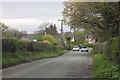
15 photos from this area
Area Information
Key information about the SK12 1NU including its size, population, and administrative classification.
- Area Type
- Postcode
- Area Size
- 2.4 hectares
- Population
- 2459
- Population Density
- 2489 people/km²
House Prices in SK12 1NU
32
Properties
£1,376,632
Average Sold Price
£69,750
Lowest Price
£18,034,999
Highest Price
Showing 32 properties
| Address | Type | Beds | Baths | Last Sale Price | Last Sale Date | |
|---|---|---|---|---|---|---|
| 170 Dickens Lane, Poynton, SK12 1NU | Bungalow | 3 | 3 | £600,000 | Dec 2024 | |
| 124 Dickens Lane, Poynton, SK12 1NU | Semi-detached | 3 | 1 | £365,124 | Oct 2023 | |
| 176 Dickens Lane, Poynton, SK12 1NU | Bungalow | - | - | £660,000 | Sep 2022 | |
| 166 Dickens Lane, Poynton, SK12 1NU | house | - | - | £1,602,000 | Jul 2021 | |
| 144 Dickens Lane, Poynton, SK12 1NU | Detached | 4 | 1 | £510,000 | Sep 2020 | |
| 182 Dickens Lane, Poynton, SK12 1NU | Detached | 3 | - | £18,034,999 | Nov 2019 | |
| 112 Dickens Lane, Poynton, SK12 1NU | house | - | - | £260,000 | Oct 2019 | |
| 114 Dickens Lane, Poynton, SK12 1NU | house | - | - | £257,000 | Dec 2015 | |
| 172 Dickens Lane, Poynton, SK12 1NU | house | 4 | - | £535,000 | Jul 2013 | |
| 164 Dickens Lane, Poynton, SK12 1NU | house | 4 | - | £600,000 | Jun 2012 |
Page 1 of 4
Energy Efficiency in SK12 1NU
Amenities
Schools
| Rank | School | Type | Entry gender | Ages |
|---|
Explore more schools in this area
Go to Schools tabDemographics
Household Size
Two person
most common
Accommodation Type
Houses
most common
Tenure
91
majority
Ethnic Group
White
most common
Religion
N/A
most common
Household Composition
N/A
most common
Age
47
median
Adults (30-64 years)
most common
Household Deprivation
N/A
with no deprivation
NS-SEC
46
in Lower managerial occupations
Explore more demographic insights in this area
Go to Demographics tabPlanning
Planning Constraints
- Flood RiskPremium
- Ramsar Wetland SitesPremium
- Area of Outstanding Natural BeautyPremium
- Protected Nature ReservePremium
- Protected WoodlandPremium