Area Overview for SK12 1YS
Photos of SK12 1YS
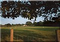
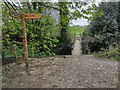
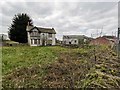
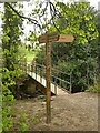
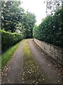
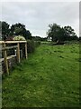

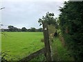
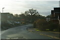
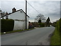
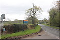
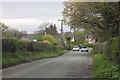
15 photos from this area
Area Information
Key information about the SK12 1YS including its size, population, and administrative classification.
- Area Type
- Postcode
- Area Size
- 1.8 hectares
- Population
- 1181
- Population Density
- 6032 people/km²
House Prices in SK12 1YS
51
Properties
£257,616
Average Sold Price
£557
Lowest Price
£570,000
Highest Price
Showing 51 properties
| Address | Type | Beds | Baths | Last Sale Price | Last Sale Date | |
|---|---|---|---|---|---|---|
| 103 Vernon Road, Poynton, SK12 1YS | Semi-detached | 3 | 1 | £400,000 | Jun 2024 | |
| 95 Vernon Road, Poynton, SK12 1YS | house | 4 | 2 | £430,000 | Feb 2024 | |
| 61 Vernon Road, Poynton, SK12 1YS | house | - | - | £327,000 | Feb 2022 | |
| 113 Vernon Road, Poynton, SK12 1YS | house | - | - | £435,000 | Feb 2022 | |
| 77 Vernon Road, Poynton, SK12 1YS | Retail | 3 | 1 | £375,000 | Oct 2021 | |
| 87 Vernon Road, Poynton, SK12 1YS | house | - | - | £570,000 | Jun 2021 | |
| 105 Vernon Road, Poynton, SK12 1YS | Terraced | - | - | £745 | Mar 2021 | |
| 99 Vernon Road, Poynton, SK12 1YS | house | - | - | £375,000 | Mar 2021 | |
| 49 Vernon Road, Poynton, SK12 1YS | Semi-detached | - | - | £615 | Feb 2021 | |
| 85 Vernon Road, Poynton, SK12 1YS | house | - | - | £495,000 | Jan 2021 |
Page 1 of 6
Energy Efficiency in SK12 1YS
Amenities
Schools
| Rank | School | Type | Entry gender | Ages |
|---|
Explore more schools in this area
Go to Schools tabDemographics
Household Size
Two person
most common
Accommodation Type
Houses
most common
Tenure
94
majority
Ethnic Group
White
most common
Religion
N/A
most common
Household Composition
N/A
most common
Age
47
median
Adults (30-64 years)
most common
Household Deprivation
N/A
with no deprivation
NS-SEC
47
in Lower managerial occupations
Explore more demographic insights in this area
Go to Demographics tabPlanning
Planning Constraints
- Flood RiskPremium
- Ramsar Wetland SitesPremium
- Area of Outstanding Natural BeautyPremium
- Protected Nature ReservePremium
- Protected WoodlandPremium