Area Overview for SK12 1UP
Photos of SK12 1UP
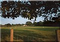
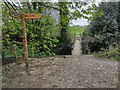
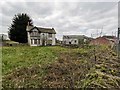
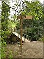
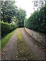
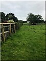

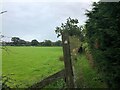
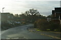
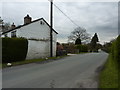
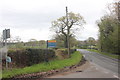
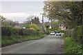
15 photos from this area
Area Information
Key information about the SK12 1UP including its size, population, and administrative classification.
- Area Type
- Postcode
- Area Size
- 1.9 hectares
- Population
- 1181
- Population Density
- 6032 people/km²
House Prices in SK12 1UP
62
Properties
£259,014
Average Sold Price
£91,250
Lowest Price
£420,000
Highest Price
Showing 62 properties
| Address | Type | Beds | Baths | Last Sale Price | Last Sale Date | |
|---|---|---|---|---|---|---|
| 50 Micawber Road, Poynton, SK12 1UP | Semi-detached | 4 | 1 | £385,000 | Dec 2024 | |
| 51 Micawber Road, Poynton, SK12 1UP | house | 3 | 1 | £368,000 | Feb 2024 | |
| 33 Micawber Road, Poynton, SK12 1UP | house | - | - | £325,000 | Nov 2023 | |
| 30 Micawber Road, Poynton, SK12 1UP | house | - | - | £320,000 | Nov 2022 | |
| 36 Micawber Road, Poynton, SK12 1UP | house | - | - | £330,000 | Sep 2022 | |
| 72 Micawber Road, Poynton, SK12 1UP | house | - | - | £400,000 | Jan 2022 | |
| 46 Micawber Road, Poynton, SK12 1UP | Semi-detached | 4 | 1 | £412,000 | Jun 2021 | |
| 61 Micawber Road, Poynton, SK12 1UP | Semi-detached | 4 | 2 | £340,000 | Mar 2021 | |
| 85 Micawber Road, Poynton, SK12 1UP | Bungalow | - | - | £290,000 | Feb 2021 | |
| 32 Micawber Road, Poynton, SK12 1UP | house | - | - | £320,000 | Feb 2021 |
Page 1 of 7
Energy Efficiency in SK12 1UP
Amenities
Schools
| Rank | School | Type | Entry gender | Ages |
|---|
Explore more schools in this area
Go to Schools tabDemographics
Household Size
Two person
most common
Accommodation Type
Houses
most common
Tenure
94
majority
Ethnic Group
White
most common
Religion
N/A
most common
Household Composition
N/A
most common
Age
47
median
Adults (30-64 years)
most common
Household Deprivation
N/A
with no deprivation
NS-SEC
47
in Lower managerial occupations
Explore more demographic insights in this area
Go to Demographics tabPlanning
Planning Constraints
- Flood RiskPremium
- Ramsar Wetland SitesPremium
- Area of Outstanding Natural BeautyPremium
- Protected Nature ReservePremium
- Protected WoodlandPremium