Area Overview for SK12 1FX
Photos of SK12 1FX
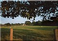
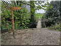
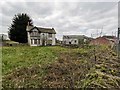
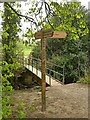
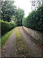
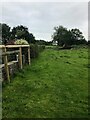

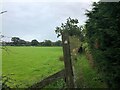
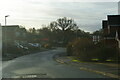
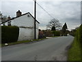
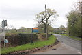
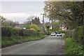
15 photos from this area
Area Information
Key information about the SK12 1FX including its size, population, and administrative classification.
- Area Type
- Postcode
- Area Size
- 1.5 hectares
- Population
- 2459
- Population Density
- 2489 people/km²
House Prices in SK12 1FX
53
Properties
£403,241
Average Sold Price
£190,890
Lowest Price
£599,995
Highest Price
Showing 53 properties
| Address | Type | Beds | Baths | Last Sale Price | Last Sale Date | |
|---|---|---|---|---|---|---|
| 8 Summerson Way, Poynton, SK12 1FX | house | - | - | £535,000 | Feb 2025 | |
| 21 Summerson Way, Poynton, SK12 1FX | house | 4 | 2 | £519,995 | Jan 2023 | |
| 74 Summerson Way, Poynton, SK12 1FX | house | - | - | £194,785 | Jan 2023 | |
| 70 Summerson Way, Poynton, SK12 1FX | house | - | - | £194,785 | Jan 2023 | |
| 72 Summerson Way, Poynton, SK12 1FX | house | - | - | £194,785 | Jan 2023 | |
| 76 Summerson Way, Poynton, SK12 1FX | house | - | - | £194,785 | Jan 2023 | |
| 19 Summerson Way, Poynton, SK12 1FX | house | - | - | £407,995 | Jan 2023 | |
| 17 Summerson Way, Poynton, SK12 1FX | Semi-detached | - | - | £409,995 | Jan 2023 | |
| 32 Summerson Way, Poynton, SK12 1FX | Terraced | - | - | £241,534 | Nov 2022 | |
| 36 Summerson Way, Poynton, SK12 1FX | house | - | - | £241,534 | Nov 2022 |
Page 1 of 6
Energy Efficiency in SK12 1FX
Amenities
Schools
| Rank | School | Type | Entry gender | Ages |
|---|
Explore more schools in this area
Go to Schools tabDemographics
Household Size
Two person
most common
Accommodation Type
Houses
most common
Tenure
91
majority
Ethnic Group
White
most common
Religion
N/A
most common
Household Composition
N/A
most common
Age
47
median
Adults (30-64 years)
most common
Household Deprivation
N/A
with no deprivation
NS-SEC
46
in Lower managerial occupations
Explore more demographic insights in this area
Go to Demographics tabPlanning
Planning Constraints
- Flood RiskPremium
- Ramsar Wetland SitesPremium
- Area of Outstanding Natural BeautyPremium
- Protected Nature ReservePremium
- Protected WoodlandPremium