Area Overview for PR9 0SR
Photos of PR9 0SR
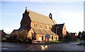
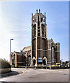
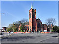
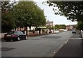
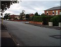
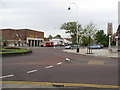
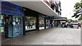
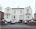
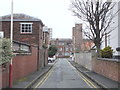
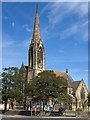
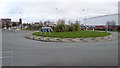
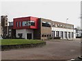
61 photos from this area
Area Information
Key information about the PR9 0SR including its size, population, and administrative classification.
- Area Type
- Postcode
- Area Size
- 9075 m²
- Population
- 1491
- Population Density
- 164306 people/km²
House Prices in PR9 0SR
32
Properties
£149,500
Average Sold Price
£40,000
Lowest Price
£305,000
Highest Price
Showing 32 properties
| Address | Type | Beds | Baths | Last Sale Price | Last Sale Date | |
|---|---|---|---|---|---|---|
| 54 Sussex Road, Southport, PR9 0SR | house | 3 | 1 | £205,000 | Sep 2024 | |
| 39 Sussex Road, Southport, PR9 0SR | house | - | - | £141,500 | May 2024 | |
| 23 Sussex Road, Southport, PR9 0SR | house | 3 | 1 | £200,000 | Aug 2022 | |
| 31 Sussex Road, Southport, PR9 0SR | Retail | 3 | 1 | £160,000 | May 2022 | |
| 29 Sussex Road, Southport, PR9 0SR | house | - | - | £145,000 | Mar 2022 | |
| 33 Sussex Road, Southport, PR9 0SR | Semi-detached | 2 | 1 | £150,000 | Nov 2020 | |
| 40 Sussex Road, Southport, PR9 0SR | Flat | - | - | £305,000 | Feb 2017 | |
| 25 Sussex Road, Southport, PR9 0SR | Semi-detached | 3 | 1 | £107,000 | Mar 2004 | |
| 27 Sussex Road, Southport, PR9 0SR | house | - | - | £41,500 | Jul 1998 | |
| 43 Sussex Road, Southport, PR9 0SR | house | - | - | £40,000 | Nov 1995 |
Page 1 of 4
Energy Efficiency in PR9 0SR
Amenities
Schools
| Rank | School | Type | Entry gender | Ages |
|---|
Explore more schools in this area
Go to Schools tabDemographics
Household Size
One person
most common
Accommodation Type
Houses
most common
Tenure
47
majority
Ethnic Group
White
most common
Religion
N/A
most common
Household Composition
N/A
most common
Age
47
median
Adults (30-64 years)
most common
Household Deprivation
N/A
with no deprivation
NS-SEC
21
in Lower managerial occupations
Explore more demographic insights in this area
Go to Demographics tabPlanning
Planning Constraints
- Flood RiskPremium
- Ramsar Wetland SitesPremium
- Area of Outstanding Natural BeautyPremium
- Protected Nature ReservePremium
- Protected WoodlandPremium