Area Overview for PR9 0RD
Photos of PR9 0RD
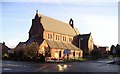
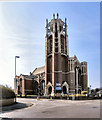

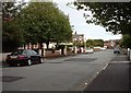
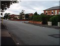
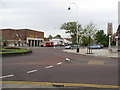
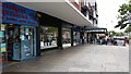
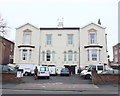
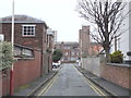
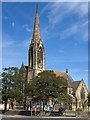
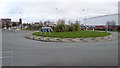

61 photos from this area
Area Information
Key information about the PR9 0RD including its size, population, and administrative classification.
- Area Type
- Postcode
- Area Size
- 8479 m²
- Population
- 1491
- Population Density
- 4717 people/km²
House Prices in PR9 0RD
35
Properties
£124,150
Average Sold Price
£25,000
Lowest Price
£170,000
Highest Price
Showing 35 properties
| Address | Type | Beds | Baths | Last Sale Price | Last Sale Date | |
|---|---|---|---|---|---|---|
| 13 East Street, Southport, PR9 0RD | house | - | - | £140,000 | Dec 2023 | |
| 19 East Street, Southport, PR9 0RD | house | - | - | £170,000 | Apr 2023 | |
| 14 East Street, Southport, PR9 0RD | house | 3 | 1 | £142,000 | Mar 2022 | |
| 15 East Street, Southport, PR9 0RD | Semi-detached | 3 | 1 | £125,000 | May 2021 | |
| 25 East Street, Southport, PR9 0RD | Semi-detached | 3 | 1 | £132,000 | Jun 2020 | |
| 23 East Street, Southport, PR9 0RD | house | 3 | - | £108,000 | Sep 2019 | |
| 11 East Street, Southport, PR9 0RD | Semi-detached | 3 | 1 | £144,000 | Dec 2018 | |
| 27 East Street, Southport, PR9 0RD | house | - | - | £159,995 | Oct 2016 | |
| 21 East Street, Southport, PR9 0RD | house | 3 | 2 | £97,950 | Jul 2015 | |
| 4 East Street, Southport, PR9 0RD | house | 2 | 1 | £121,000 | Jul 2010 |
Page 1 of 4
Energy Efficiency in PR9 0RD
Amenities
Schools
| Rank | School | Type | Entry gender | Ages |
|---|
Explore more schools in this area
Go to Schools tabDemographics
Household Size
One person
most common
Accommodation Type
Houses
most common
Tenure
47
majority
Ethnic Group
White
most common
Religion
N/A
most common
Household Composition
N/A
most common
Age
47
median
Adults (30-64 years)
most common
Household Deprivation
N/A
with no deprivation
NS-SEC
21
in Lower managerial occupations
Explore more demographic insights in this area
Go to Demographics tabPlanning
Planning Constraints
- Flood RiskPremium
- Ramsar Wetland SitesPremium
- Area of Outstanding Natural BeautyPremium
- Protected Nature ReservePremium
- Protected WoodlandPremium