Area Overview for PR8 5ED
Photos of PR8 5ED
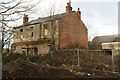
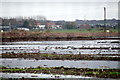
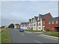
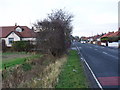
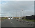
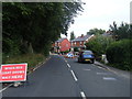
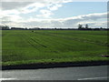
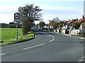
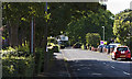
9 photos from this area
Area Information
Key information about the PR8 5ED including its size, population, and administrative classification.
- Area Type
- Postcode
- Area Size
- 8945 m²
- Population
- 2048
- Population Density
- 2365 people/km²
House Prices in PR8 5ED
30
Properties
£218,610
Average Sold Price
£149,995
Lowest Price
£290,000
Highest Price
Showing 30 properties
| Address | Type | Beds | Baths | Last Sale Price | Last Sale Date | |
|---|---|---|---|---|---|---|
| 134 Blowick Moss Lane, Southport, PR8 5ED | Detached | 4 | 2 | £290,000 | Jun 2025 | |
| 160 Blowick Moss Lane, Southport, PR8 5ED | Detached | 2 | 2 | £165,000 | Mar 2025 | |
| 132 Blowick Moss Lane, Southport, PR8 5ED | Detached | 4 | 1 | £290,000 | Oct 2024 | |
| 166 Blowick Moss Lane, Southport, PR8 5ED | Terraced | 3 | 2 | £183,500 | Jul 2024 | |
| 136 Blowick Moss Lane, Southport, PR8 5ED | house | - | - | £251,750 | May 2021 | |
| 170 Blowick Moss Lane, Southport, PR8 5ED | house | - | - | £205,000 | Apr 2021 | |
| 138 Blowick Moss Lane, Southport, PR8 5ED | house | - | - | £220,000 | Mar 2021 | |
| 168 Blowick Moss Lane, Southport, PR8 5ED | house | - | - | £202,500 | Mar 2021 | |
| 158 Blowick Moss Lane, Southport, PR8 5ED | house | - | - | £253,000 | Mar 2021 | |
| 164 Blowick Moss Lane, Southport, PR8 5ED | house | - | - | £206,500 | Jan 2021 |
Page 1 of 3
Energy Efficiency in PR8 5ED
Amenities
Schools
| Rank | School | Type | Entry gender | Ages |
|---|
Explore more schools in this area
Go to Schools tabDemographics
Household Size
Two person
most common
Accommodation Type
Houses
most common
Tenure
83
majority
Ethnic Group
White
most common
Religion
N/A
most common
Household Composition
N/A
most common
Age
47
median
Adults (30-64 years)
most common
Household Deprivation
N/A
with no deprivation
NS-SEC
39
in Lower managerial occupations
Explore more demographic insights in this area
Go to Demographics tabPlanning
Planning Constraints
- Flood RiskPremium
- Ramsar Wetland SitesPremium
- Area of Outstanding Natural BeautyPremium
- Protected Nature ReservePremium
- Protected WoodlandPremium