Area Overview for PR8 6UX
Photos of PR8 6UX
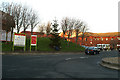

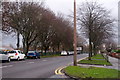
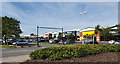
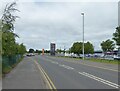
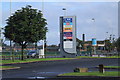
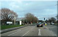

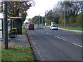
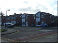
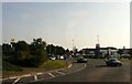
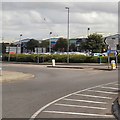
13 photos from this area
Area Information
Key information about the PR8 6UX including its size, population, and administrative classification.
- Area Type
- Postcode
- Area Size
- 6.3 hectares
- Population
- 2048
- Population Density
- 2365 people/km²
House Prices in PR8 6UX
69
Properties
£291,489
Average Sold Price
£51,598
Lowest Price
£2,696,999
Highest Price
Showing 69 properties
| Address | Type | Beds | Baths | Last Sale Price | Last Sale Date | |
|---|---|---|---|---|---|---|
| 106 Blowick Moss Lane, Southport, PR8 6UX | house | - | - | £285,000 | Nov 2025 | |
| 24 Blowick Moss Lane, Southport, PR8 6UX | Detached | 3 | 2 | £260,000 | Oct 2025 | |
| 78 Blowick Moss Lane, Southport, PR8 6UX | Terraced | 3 | 2 | £260,000 | Aug 2025 | |
| 12 Blowick Moss Lane, Southport, PR8 6UX | Detached | 4 | 2 | £275,000 | Feb 2025 | |
| 92 Blowick Moss Lane, Southport, PR8 6UX | house | - | - | £210,000 | Feb 2025 | |
| 100 Blowick Moss Lane, Southport, PR8 6UX | Semi-detached | 3 | 1 | £220,000 | Nov 2024 | |
| 98 Blowick Moss Lane, Southport, PR8 6UX | Semi-detached | 3 | 1 | £210,000 | Nov 2023 | |
| 50 Blowick Moss Lane, Southport, PR8 6UX | Retail | 2 | 2 | £165,000 | Sep 2023 | |
| 6 Blowick Moss Lane, Southport, PR8 6UX | Detached | 4 | 2 | £315,000 | Feb 2023 | |
| 74 Blowick Moss Lane, Southport, PR8 6UX | house | - | - | £261,000 | Nov 2022 |
Page 1 of 7
Energy Efficiency in PR8 6UX
Amenities
Schools
| Rank | School | Type | Entry gender | Ages |
|---|
Explore more schools in this area
Go to Schools tabDemographics
Household Size
Two person
most common
Accommodation Type
Houses
most common
Tenure
83
majority
Ethnic Group
White
most common
Religion
N/A
most common
Household Composition
N/A
most common
Age
47
median
Adults (30-64 years)
most common
Household Deprivation
N/A
with no deprivation
NS-SEC
39
in Lower managerial occupations
Explore more demographic insights in this area
Go to Demographics tabPlanning
Planning Constraints
- Flood RiskPremium
- Ramsar Wetland SitesPremium
- Area of Outstanding Natural BeautyPremium
- Protected Nature ReservePremium
- Protected WoodlandPremium