Area Overview for PR5 0RU
Photos of PR5 0RU
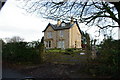
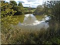
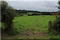
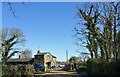
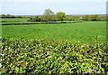
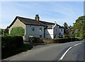
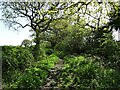
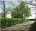
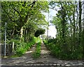
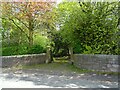
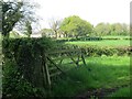
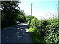
36 photos from this area
Area Information
Key information about the PR5 0RU including its size, population, and administrative classification.
- Area Type
- Postcode
- Area Size
- 34.9 hectares
- Population
- 1995
- Population Density
- 76 people/km²
House Prices in PR5 0RU
21
Properties
£303,267
Average Sold Price
£60,000
Lowest Price
£495,000
Highest Price
Showing 21 properties
| Address | Type | Beds | Baths | Last Sale Price | Last Sale Date | |
|---|---|---|---|---|---|---|
| Lansdown, Gib Lane, Hoghton, PR5 0RU | Detached | 3 | 1 | £350,000 | Apr 2020 | |
| 11 Gib Lane, Hoghton, PR5 0RU | Bungalow | 3 | 3 | £287,500 | Feb 2020 | |
| 1A Gib Lane, Hoghton, PR5 0RU | Detached | - | - | £215,000 | Dec 2018 | |
| Braeside, Gib Lane, Hoghton, PR5 0RU | Detached | 5 | 2 | £360,000 | Oct 2017 | |
| Oakmount, Gib Lane, Hoghton, PR5 0RU | Bungalow | 4 | 2 | £345,000 | Aug 2017 | |
| 2 Gib Lane, Hoghton, PR5 0RU | Detached | 5 | - | £445,000 | May 2014 | |
| The Glen, Gib Lane, Hoghton, PR5 0RU | house | - | - | £495,000 | Apr 2014 | |
| Home Lodge, 6 Gib Lane, Hoghton, PR5 0RU | house | - | - | £315,000 | Mar 2014 | |
| Dalry, 7 Gib Lane, Hoghton, PR5 0RU | Bungalow | - | - | £265,000 | Nov 2013 | |
| Yew Tree Farm, Gib Lane, Hoghton, PR5 0RU | house | - | - | £465,000 | Jan 2013 |
Page 1 of 3
Energy Efficiency in PR5 0RU
Amenities
Schools
| Rank | School | Type | Entry gender | Ages |
|---|
Explore more schools in this area
Go to Schools tabDemographics
Household Size
Two person
most common
Accommodation Type
Houses
most common
Tenure
84
majority
Ethnic Group
White
most common
Religion
N/A
most common
Household Composition
N/A
most common
Age
47
median
Adults (30-64 years)
most common
Household Deprivation
N/A
with no deprivation
NS-SEC
46
in Lower managerial occupations
Explore more demographic insights in this area
Go to Demographics tabPlanning
Planning Constraints
- Flood RiskPremium
- Ramsar Wetland SitesPremium
- Area of Outstanding Natural BeautyPremium
- Protected Nature ReservePremium
- Protected WoodlandPremium