Area Overview for PR5 0JA
Photos of PR5 0JA
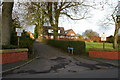


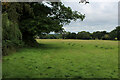
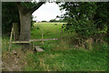
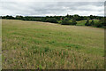
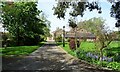
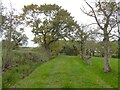
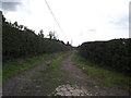
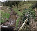
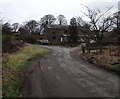
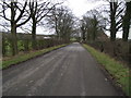
30 photos from this area
Area Information
Key information about the PR5 0JA including its size, population, and administrative classification.
- Area Type
- Postcode
- Area Size
- 14.4 hectares
- Population
- 1995
- Population Density
- 76 people/km²
House Prices in PR5 0JA
22
Properties
£329,417
Average Sold Price
£90,000
Lowest Price
£585,000
Highest Price
Showing 22 properties
| Address | Type | Beds | Baths | Last Sale Price | Last Sale Date | |
|---|---|---|---|---|---|---|
| White Croft, Quaker Brook Lane, Hoghton, PR5 0JA | Detached | 3 | 3 | £510,000 | Mar 2025 | |
| Ferndale, Quaker Brook Lane, Hoghton, PR5 0JA | house | - | - | £505,000 | Mar 2022 | |
| Heatherdale, Quaker Brook Lane, Hoghton, PR5 0JA | house | - | - | £540,000 | Sep 2021 | |
| Lynwood, Quaker Brook Lane, Hoghton, PR5 0JA | Semi-detached | 4 | 3 | £250,000 | Jun 2019 | |
| Linden Lea, Quaker Brook Lane, Hoghton, PR5 0JA | Detached | - | - | £275,000 | Sep 2017 | |
| Oak Lea, Quaker Brook Lane, Hoghton, PR5 0JA | Semi-detached | 3 | 2 | £295,000 | Feb 2017 | |
| Gatesgarth, Quaker Brook Lane, Hoghton, PR5 0JA | Bungalow | 3 | - | £585,000 | Sep 2016 | |
| Wayside, Quaker Brook Lane, Hoghton, PR5 0JA | Semi-detached | 3 | - | £239,000 | Aug 2013 | |
| Cedar Court, Quaker Brook Lane, Hoghton, PR5 0JA | Detached | 5 | - | £365,000 | Oct 2002 | |
| Robin Hill, Quaker Brook Lane, Hoghton, PR5 0JA | Detached | - | - | £180,000 | Feb 2001 |
Page 1 of 3
Energy Efficiency in PR5 0JA
Amenities
Schools
| Rank | School | Type | Entry gender | Ages |
|---|
Explore more schools in this area
Go to Schools tabDemographics
Household Size
Two person
most common
Accommodation Type
Houses
most common
Tenure
84
majority
Ethnic Group
White
most common
Religion
N/A
most common
Household Composition
N/A
most common
Age
47
median
Adults (30-64 years)
most common
Household Deprivation
N/A
with no deprivation
NS-SEC
46
in Lower managerial occupations
Explore more demographic insights in this area
Go to Demographics tabPlanning
Planning Constraints
- Flood RiskPremium
- Ramsar Wetland SitesPremium
- Area of Outstanding Natural BeautyPremium
- Protected Nature ReservePremium
- Protected WoodlandPremium