Area Overview for PR3 6AH
Photos of PR3 6AH
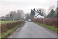
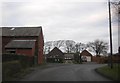
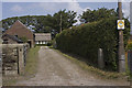
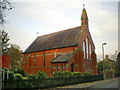
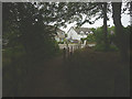
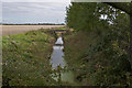
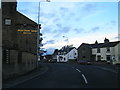
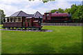
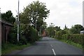
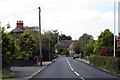
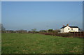
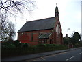
31 photos from this area
Area Information
Key information about the PR3 6AH including its size, population, and administrative classification.
- Area Type
- Postcode
- Area Size
- 2.1 hectares
- Population
- 2628
- Population Density
- 75 people/km²
House Prices in PR3 6AH
12
Properties
£207,600
Average Sold Price
£105,000
Lowest Price
£360,000
Highest Price
Showing 12 properties
| Address | Type | Beds | Baths | Last Sale Price | Last Sale Date | |
|---|---|---|---|---|---|---|
| Station Cottage South, Lancaster Road, Pilling, PR3 6AH | Semi-detached | 3 | 2 | £285,000 | Mar 2022 | |
| Cux Haven, Lancaster Road, Pilling, PR3 6AH | Retail | 5 | - | £360,000 | Sep 2020 | |
| 2, Bridge Cottages, Lancaster Road, Pilling, PR3 6AH | house | - | - | £133,000 | Dec 2009 | |
| 1, Bridge Cottages, Lancaster Road, Pilling, PR3 6AH | house | - | - | £155,000 | Nov 2004 | |
| St Malo, Lancaster Road, Pilling, PR3 6AH | Detached | - | - | £105,000 | Jun 1995 | |
| 2, East View, Lancaster Road, Pilling, PR3 6AH | Detached | 5 | 2 | - | - | |
| Station House, Bradshaw Lane, Pilling, PR3 6AH | Semi-detached | 3 | - | - | - | |
| Cuxhaven, Lancaster Road, Pilling, PR3 6AH | Detached | - | - | - | - | |
| Station Cottage North, Lancaster Road, Pilling, PR3 6AH | Detached | - | - | - | - | |
| Stakepool House, Lancaster Road, Pilling, PR3 6AH | house | - | - | - | - |
Page 1 of 2
Energy Efficiency in PR3 6AH
Amenities
Schools
| Rank | School | Type | Entry gender | Ages |
|---|
Explore more schools in this area
Go to Schools tabDemographics
Household Size
Two person
most common
Accommodation Type
Houses
most common
Tenure
82
majority
Ethnic Group
White
most common
Religion
N/A
most common
Household Composition
N/A
most common
Age
47
median
Adults (30-64 years)
most common
Household Deprivation
N/A
with no deprivation
NS-SEC
34
in Lower managerial occupations
Explore more demographic insights in this area
Go to Demographics tabPlanning
Planning Constraints
- Flood RiskPremium
- Ramsar Wetland SitesPremium
- Area of Outstanding Natural BeautyPremium
- Protected Nature ReservePremium
- Protected WoodlandPremium