Area Overview for PR1 7UE
Photos of PR1 7UE
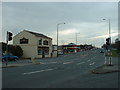
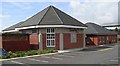
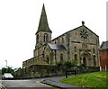
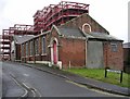
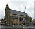
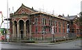
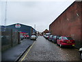
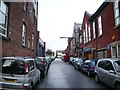
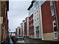
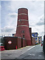
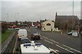
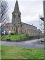
71 photos from this area
Area Information
Key information about the PR1 7UE including its size, population, and administrative classification.
- Area Type
- Postcode
- Area Size
- 5014 m²
- Population
- 1972
- Population Density
- 6631 people/km²
House Prices in PR1 7UE
42
Properties
£74,939
Average Sold Price
£25,000
Lowest Price
£115,000
Highest Price
Showing 42 properties
| Address | Type | Beds | Baths | Last Sale Price | Last Sale Date | |
|---|---|---|---|---|---|---|
| 129 Plungington Road, Preston, PR1 7UE | Terraced | 3 | 1 | £102,000 | Oct 2022 | |
| 106 Plungington Road, Preston, PR1 7UE | Terraced | 3 | 1 | £88,000 | Aug 2022 | |
| 119 Plungington Road, Preston, PR1 7UE | Terraced | 2 | 1 | £82,000 | May 2022 | |
| 110 Plungington Road, Preston, PR1 7UE | Terraced | 3 | 1 | £104,000 | Dec 2021 | |
| 117 Plungington Road, Preston, PR1 7UE | Terraced | 2 | 1 | £68,000 | Sep 2018 | |
| 101 Plungington Road, Preston, PR1 7UE | Terraced | 3 | 1 | £63,000 | Jun 2017 | |
| 115 Plungington Road, Preston, PR1 7UE | Terraced | 3 | - | £92,500 | Oct 2016 | |
| 107 Plungington Road, Preston, PR1 7UE | Terraced | 4 | 1 | £47,000 | Dec 2015 | |
| 130 Plungington Road, Preston, PR1 7UE | Terraced | 3 | 1 | £104,500 | Aug 2008 | |
| 103 Plungington Road, Preston, PR1 7UE | Terraced | 3 | 1 | £115,000 | Jul 2008 |
Page 1 of 5
Energy Efficiency in PR1 7UE
Amenities
Schools
| Rank | School | Type | Entry gender | Ages |
|---|
Explore more schools in this area
Go to Schools tabDemographics
Household Size
One person
most common
Accommodation Type
Houses
most common
Tenure
20
majority
Ethnic Group
White
most common
Religion
N/A
most common
Household Composition
N/A
most common
Age
22
median
Young Adults (15-29 years)
most common
Household Deprivation
N/A
with no deprivation
NS-SEC
9
in Lower managerial occupations
Explore more demographic insights in this area
Go to Demographics tabPlanning
Planning Constraints
- Flood RiskPremium
- Ramsar Wetland SitesPremium
- Area of Outstanding Natural BeautyPremium
- Protected Nature ReservePremium
- Protected WoodlandPremium