Area Overview for PR1 7LU
Photos of PR1 7LU
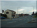
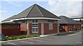
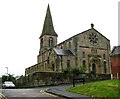
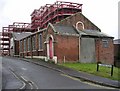
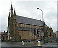
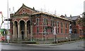
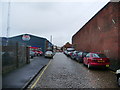
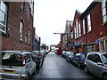
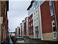
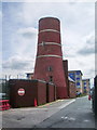
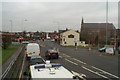
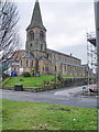
71 photos from this area
Area Information
Key information about the PR1 7LU including its size, population, and administrative classification.
- Area Type
- Postcode
- Area Size
- 4201 m²
- Population
- 1972
- Population Density
- 6631 people/km²
House Prices in PR1 7LU
28
Properties
£95,122
Average Sold Price
£29,000
Lowest Price
£160,000
Highest Price
Showing 28 properties
| Address | Type | Beds | Baths | Last Sale Price | Last Sale Date | |
|---|---|---|---|---|---|---|
| 125 Ripon Street, Preston, PR1 7LU | Terraced | 2 | 1 | £105,000 | Jul 2025 | |
| 106 Ripon Street, Preston, PR1 7LU | house | 5 | 1 | £160,000 | Sep 2023 | |
| 127 Ripon Street, Preston, PR1 7LU | house | 3 | 1 | £90,000 | Mar 2022 | |
| 116 Ripon Street, Preston, PR1 7LU | Terraced | 4 | 2 | £140,000 | Mar 2022 | |
| 108 Ripon Street, Preston, PR1 7LU | Terraced | 3 | 1 | £129,000 | Sep 2021 | |
| 120A Ripon Street, Preston, PR1 7LU | Flat | 1 | 4 | £113,500 | Jun 2021 | |
| 146 Ripon Street, Preston, PR1 7LU | Terraced | 3 | 2 | £113,500 | Apr 2016 | |
| 152 Ripon Street, Preston, PR1 7LU | Terraced | 2 | 1 | £92,500 | May 2015 | |
| 122 Ripon Street, Preston, PR1 7LU | Terraced | 2 | 1 | £85,000 | Aug 2011 | |
| 114 Ripon Street, Preston, PR1 7LU | Terraced | 4 | 1 | £117,500 | Mar 2007 |
Page 1 of 3
Energy Efficiency in PR1 7LU
Amenities
Schools
| Rank | School | Type | Entry gender | Ages |
|---|
Explore more schools in this area
Go to Schools tabDemographics
Household Size
One person
most common
Accommodation Type
Houses
most common
Tenure
20
majority
Ethnic Group
White
most common
Religion
N/A
most common
Household Composition
N/A
most common
Age
22
median
Young Adults (15-29 years)
most common
Household Deprivation
N/A
with no deprivation
NS-SEC
9
in Lower managerial occupations
Explore more demographic insights in this area
Go to Demographics tabPlanning
Planning Constraints
- Flood RiskPremium
- Ramsar Wetland SitesPremium
- Area of Outstanding Natural BeautyPremium
- Protected Nature ReservePremium
- Protected WoodlandPremium