Area Overview for M34 2HF
Photos of M34 2HF
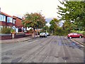
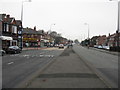
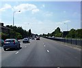
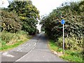
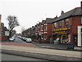
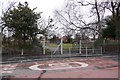
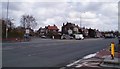
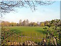
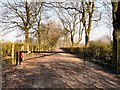
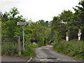
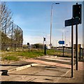
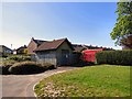
43 photos from this area
Area Information
Key information about the M34 2HF including its size, population, and administrative classification.
- Area Type
- Postcode
- Area Size
- 1.4 hectares
- Population
- 1554
- Population Density
- 1772 people/km²
House Prices in M34 2HF
14
Properties
£171,233
Average Sold Price
£862
Lowest Price
£303,000
Highest Price
Showing 14 properties
| Address | Type | Beds | Baths | Last Sale Price | Last Sale Date | |
|---|---|---|---|---|---|---|
| 140 Windsor Road, Denton, M34 2HF | house | - | - | £250,000 | Sep 2021 | |
| 122 Windsor Road, Denton, M34 2HF | house | - | - | £150,000 | Jun 2021 | |
| 118 Windsor Road, Denton, M34 2HF | house | - | - | £303,000 | Aug 2020 | |
| 136 Windsor Road, Denton, M34 2HF | house | - | - | £862 | Jun 2020 | |
| 124 Windsor Road, Denton, M34 2HF | Semi-detached | 4 | 1 | £186,000 | Feb 2018 | |
| 130 Windsor Road, Denton, M34 2HF | Semi-detached | 3 | 1 | £195,000 | May 2017 | |
| 120 Windsor Road, Denton, M34 2HF | Semi-detached | 3 | 1 | £120,000 | Apr 2012 | |
| 132 Windsor Road, Denton, M34 2HF | Semi-detached | 3 | 1 | £165,000 | Jul 2004 | |
| Willow View, 138 Windsor Road, Denton, M34 2HF | Terraced | - | - | - | - | |
| 134 Windsor Road, Denton, M34 2HF | Terraced | - | - | - | - |
Page 1 of 2
Energy Efficiency in M34 2HF
Amenities
Schools
| Rank | School | Type | Entry gender | Ages |
|---|
Explore more schools in this area
Go to Schools tabDemographics
Household Size
Two person
most common
Accommodation Type
Houses
most common
Tenure
87
majority
Ethnic Group
White
most common
Religion
N/A
most common
Household Composition
N/A
most common
Age
47
median
Adults (30-64 years)
most common
Household Deprivation
N/A
with no deprivation
NS-SEC
33
in Lower managerial occupations
Explore more demographic insights in this area
Go to Demographics tabPlanning
Planning Constraints
- Flood RiskPremium
- Ramsar Wetland SitesPremium
- Area of Outstanding Natural BeautyPremium
- Protected Nature ReservePremium
- Protected WoodlandPremium