Area Overview for M34 2LD
Photos of M34 2LD
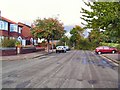
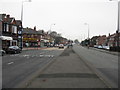
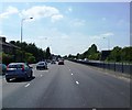
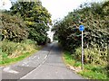
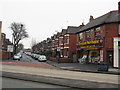
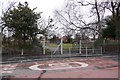
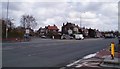
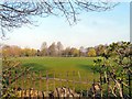
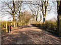
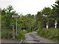
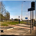
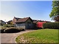
43 photos from this area
Area Information
Key information about the M34 2LD including its size, population, and administrative classification.
- Area Type
- Postcode
- Area Size
- 1.1 hectares
- Population
- 1599
- Population Density
- 6516 people/km²
House Prices in M34 2LD
28
Properties
£148,745
Average Sold Price
£40,000
Lowest Price
£282,500
Highest Price
Showing 28 properties
| Address | Type | Beds | Baths | Last Sale Price | Last Sale Date | |
|---|---|---|---|---|---|---|
| 3 Repton Avenue, Denton, M34 2LD | house | - | - | £250,000 | Feb 2025 | |
| 27 Repton Avenue, Denton, M34 2LD | house | - | - | £282,500 | Sep 2022 | |
| 24 Repton Avenue, Denton, M34 2LD | Semi-detached | 3 | 1 | £248,000 | Sep 2021 | |
| 4 Repton Avenue, Denton, M34 2LD | house | - | - | £220,000 | Oct 2020 | |
| 26 Repton Avenue, Denton, M34 2LD | Semi-detached | 3 | 1 | £200,000 | Sep 2019 | |
| 5 Repton Avenue, Denton, M34 2LD | Semi-detached | 3 | 1 | £158,000 | Nov 2016 | |
| 25 Repton Avenue, Denton, M34 2LD | house | - | - | £81,685 | Nov 2010 | |
| 13 Repton Avenue, Denton, M34 2LD | house | - | - | £155,000 | Sep 2007 | |
| 19 Repton Avenue, Denton, M34 2LD | Detached | 3 | 1 | £125,000 | Jan 2006 | |
| 1 Repton Avenue, Denton, M34 2LD | house | 3 | - | £67,500 | Nov 2001 |
Page 1 of 3
Energy Efficiency in M34 2LD
Amenities
Schools
| Rank | School | Type | Entry gender | Ages |
|---|
Explore more schools in this area
Go to Schools tabDemographics
Household Size
Family (3-5 people)
most common
Accommodation Type
Houses
most common
Tenure
85
majority
Ethnic Group
White
most common
Religion
N/A
most common
Household Composition
N/A
most common
Age
47
median
Adults (30-64 years)
most common
Household Deprivation
N/A
with no deprivation
NS-SEC
35
in Lower managerial occupations
Explore more demographic insights in this area
Go to Demographics tabPlanning
Planning Constraints
- Flood RiskPremium
- Ramsar Wetland SitesPremium
- Area of Outstanding Natural BeautyPremium
- Protected Nature ReservePremium
- Protected WoodlandPremium