Area Overview for M32 0AB
Photos of M32 0AB
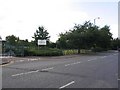
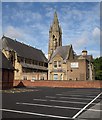
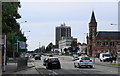
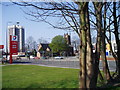
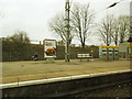
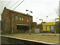
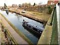
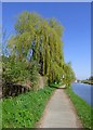
98 photos from this area
Area Information
Key information about the M32 0AB including its size, population, and administrative classification.
- Area Type
- Postcode
- Area Size
- 3742 m²
- Population
- Not available
- Population Density
- Not available
House Prices in M32 0AB
22
Properties
£167,200
Average Sold Price
£36,550
Lowest Price
£330,000
Highest Price
Showing 22 properties
| Address | Type | Beds | Baths | Last Sale Price | Last Sale Date | |
|---|---|---|---|---|---|---|
| 48 Victoria Road, Stretford, M32 0AB | Flat | - | - | £325,000 | Jan 2021 | |
| 66 Victoria Road, Stretford, M32 0AB | house | - | - | £330,000 | Sep 2020 | |
| 64 Victoria Road, Stretford, M32 0AB | house | 6 | - | £237,000 | Nov 2014 | |
| 52 Victoria Road, Stretford, M32 0AB | Terraced | 3 | 1 | £170,000 | Jun 2014 | |
| 78 Victoria Road, Stretford, M32 0AB | Terraced | 5 | - | £195,000 | Apr 2014 | |
| 74 Victoria Road, Stretford, M32 0AB | house | - | - | £197,000 | Nov 2012 | |
| 84 Victoria Road, Stretford, M32 0AB | house | - | - | £220,000 | Mar 2010 | |
| 80 Victoria Road, Stretford, M32 0AB | Semi-detached | - | - | £225,000 | Sep 2007 | |
| 76 Victoria Road, Stretford, M32 0AB | Terraced | - | - | £205,000 | Mar 2007 | |
| 54 Victoria Road, Stretford, M32 0AB | Terraced | 3 | 1 | £84,950 | May 2002 |
Page 1 of 3
Energy Efficiency in M32 0AB
Amenities
Schools
| Rank | School | Type | Entry gender | Ages |
|---|
Explore more schools in this area
Go to Schools tabDemographics
Household Size
Family (3-5 people)
most common
Accommodation Type
Houses
most common
Tenure
63
majority
Ethnic Group
White
most common
Religion
N/A
most common
Household Composition
N/A
most common
Age
47
median
Adults (30-64 years)
most common
Household Deprivation
N/A
with no deprivation
NS-SEC
42
in Lower managerial occupations
Explore more demographic insights in this area
Go to Demographics tabPlanning
Planning Constraints
- Flood RiskPremium
- Ramsar Wetland SitesPremium
- Area of Outstanding Natural BeautyPremium
- Protected Nature ReservePremium
- Protected WoodlandPremium