Area Overview for M32 0AA
Photos of M32 0AA
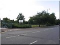
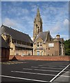
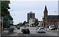
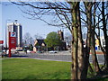
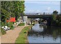
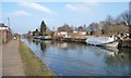


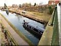
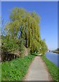
98 photos from this area
Area Information
Key information about the M32 0AA including its size, population, and administrative classification.
- Area Type
- Postcode
- Area Size
- 5908 m²
- Population
- Not available
- Population Density
- Not available
House Prices in M32 0AA
29
Properties
£164,369
Average Sold Price
£38,000
Lowest Price
£310,250
Highest Price
Showing 29 properties
| Address | Type | Beds | Baths | Last Sale Price | Last Sale Date | |
|---|---|---|---|---|---|---|
| 45 Pinnington Lane, Stretford, M32 0AA | Terraced | 3 | 1 | £274,000 | Mar 2025 | |
| 35 Pinnington Lane, Stretford, M32 0AA | Terraced | 2 | 1 | £239,000 | Mar 2024 | |
| 38 Pinnington Lane, Stretford, M32 0AA | Terraced | 3 | 1 | £310,250 | Feb 2024 | |
| 41 Pinnington Lane, Stretford, M32 0AA | Terraced | 2 | 1 | £258,000 | Jan 2024 | |
| 34 Pinnington Lane, Stretford, M32 0AA | Terraced | 3 | 1 | £293,000 | Sep 2023 | |
| 28 Pinnington Lane, Stretford, M32 0AA | Terraced | 2 | 1 | £262,500 | May 2022 | |
| 47 Pinnington Lane, Stretford, M32 0AA | Terraced | 3 | 1 | £257,000 | Oct 2021 | |
| 33 Pinnington Lane, Stretford, M32 0AA | Terraced | 3 | 1 | £210,000 | Aug 2021 | |
| 27 Pinnington Lane, Stretford, M32 0AA | Terraced | 2 | 1 | £219,000 | Jun 2021 | |
| 31 Pinnington Lane, Stretford, M32 0AA | Terraced | 2 | 1 | £215,000 | Feb 2021 |
Page 1 of 3
Energy Efficiency in M32 0AA
Amenities
Schools
| Rank | School | Type | Entry gender | Ages |
|---|
Explore more schools in this area
Go to Schools tabDemographics
Household Size
Family (3-5 people)
most common
Accommodation Type
Houses
most common
Tenure
63
majority
Ethnic Group
White
most common
Religion
N/A
most common
Household Composition
N/A
most common
Age
47
median
Adults (30-64 years)
most common
Household Deprivation
N/A
with no deprivation
NS-SEC
42
in Lower managerial occupations
Explore more demographic insights in this area
Go to Demographics tabPlanning
Planning Constraints
- Flood RiskPremium
- Ramsar Wetland SitesPremium
- Area of Outstanding Natural BeautyPremium
- Protected Nature ReservePremium
- Protected WoodlandPremium