Area Overview for M23 0GP
Photos of M23 0GP
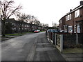
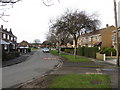
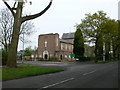
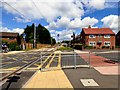
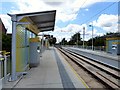
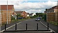
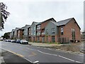
35 photos from this area
Area Information
Key information about the M23 0GP including its size, population, and administrative classification.
- Area Type
- Postcode
- Area Size
- 1.7 hectares
- Population
- 1785
- Population Density
- 6484 people/km²
House Prices in M23 0GP
63
Properties
£207,896
Average Sold Price
£79,995
Lowest Price
£415,000
Highest Price
Showing 63 properties
| Address | Type | Beds | Baths | Last Sale Price | Last Sale Date | |
|---|---|---|---|---|---|---|
| 126 Kerscott Road, Manchester, M23 0GP | Semi-detached | 3 | 2 | £325,000 | Oct 2025 | |
| 184 Kerscott Road, Manchester, M23 0GP | Semi-detached | 3 | 1 | £310,000 | Mar 2025 | |
| 172 Kerscott Road, Manchester, M23 0GP | Detached | 5 | 2 | £415,000 | Jan 2025 | |
| 144 Kerscott Road, Manchester, M23 0GP | Semi-detached | 3 | 1 | £292,000 | Oct 2024 | |
| 218 Kerscott Road, Manchester, M23 0GP | Semi-detached | 3 | 2 | £333,600 | Oct 2024 | |
| 136 Kerscott Road, Manchester, M23 0GP | Semi-detached | 3 | 2 | £327,000 | Sep 2024 | |
| 156 Kerscott Road, Manchester, M23 0GP | Detached | 3 | 1 | £315,000 | Apr 2024 | |
| 118 Kerscott Road, Manchester, M23 0GP | Terraced | 3 | 1 | £280,000 | Apr 2024 | |
| 112 Kerscott Road, Manchester, M23 0GP | Terraced | 3 | 2 | £295,000 | Apr 2024 | |
| 204 Kerscott Road, Manchester, M23 0GP | Semi-detached | 3 | 1 | £345,000 | Oct 2023 |
Page 1 of 7
Energy Efficiency in M23 0GP
Amenities
Schools
| Rank | School | Type | Entry gender | Ages |
|---|
Explore more schools in this area
Go to Schools tabDemographics
Household Size
One person
most common
Accommodation Type
Houses
most common
Tenure
43
majority
Ethnic Group
White
most common
Religion
N/A
most common
Household Composition
N/A
most common
Age
47
median
Adults (30-64 years)
most common
Household Deprivation
N/A
with no deprivation
NS-SEC
28
in Lower managerial occupations
Explore more demographic insights in this area
Go to Demographics tabPlanning
Planning Constraints
- Flood RiskPremium
- Ramsar Wetland SitesPremium
- Area of Outstanding Natural BeautyPremium
- Protected Nature ReservePremium
- Protected WoodlandPremium