Area Overview for M23 0GD
Photos of M23 0GD
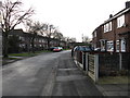
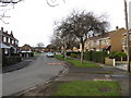
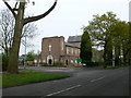
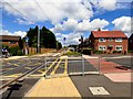
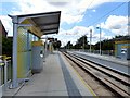
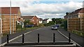
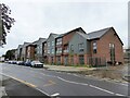
35 photos from this area
Area Information
Key information about the M23 0GD including its size, population, and administrative classification.
- Area Type
- Postcode
- Area Size
- 2.8 hectares
- Population
- 1785
- Population Density
- 6484 people/km²
House Prices in M23 0GD
65
Properties
£180,379
Average Sold Price
£6,500
Lowest Price
£390,000
Highest Price
Showing 65 properties
| Address | Type | Beds | Baths | Last Sale Price | Last Sale Date | |
|---|---|---|---|---|---|---|
| 101 Kerscott Road, Manchester, M23 0GD | house | 3 | - | £310,000 | Jul 2025 | |
| 95 Kerscott Road, Manchester, M23 0GD | Semi-detached | 3 | 2 | £337,000 | Dec 2024 | |
| 93 Kerscott Road, Manchester, M23 0GD | Semi-detached | 3 | 2 | £327,000 | Nov 2024 | |
| 33 Kerscott Road, Manchester, M23 0GD | Detached | 3 | 2 | £390,000 | Jun 2024 | |
| 35 Kerscott Road, Manchester, M23 0GD | Detached | 3 | 2 | £363,000 | May 2024 | |
| 115 Kerscott Road, Manchester, M23 0GD | Semi-detached | 3 | 2 | £315,000 | Mar 2024 | |
| 1F Kerscott Road, Manchester, M23 0GD | Semi-detached | 3 | 2 | £320,000 | Feb 2023 | |
| 11 Kerscott Road, Manchester, M23 0GD | house | 3 | 2 | £380,000 | May 2022 | |
| 15 Kerscott Road, Manchester, M23 0GD | Semi-detached | 3 | 1 | £310,000 | Apr 2022 | |
| 109 Kerscott Road, Manchester, M23 0GD | Retail | 3 | 1 | £370,100 | Apr 2022 |
Page 1 of 7
Energy Efficiency in M23 0GD
Amenities
Schools
| Rank | School | Type | Entry gender | Ages |
|---|
Explore more schools in this area
Go to Schools tabDemographics
Household Size
One person
most common
Accommodation Type
Houses
most common
Tenure
43
majority
Ethnic Group
White
most common
Religion
N/A
most common
Household Composition
N/A
most common
Age
47
median
Adults (30-64 years)
most common
Household Deprivation
N/A
with no deprivation
NS-SEC
28
in Lower managerial occupations
Explore more demographic insights in this area
Go to Demographics tabPlanning
Planning Constraints
- Flood RiskPremium
- Ramsar Wetland SitesPremium
- Area of Outstanding Natural BeautyPremium
- Protected Nature ReservePremium
- Protected WoodlandPremium