Area Overview for M19 2AR
Photos of M19 2AR

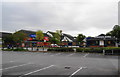
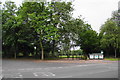
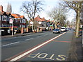
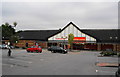
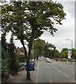


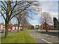
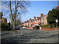
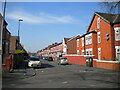
46 photos from this area
Area Information
Key information about the M19 2AR including its size, population, and administrative classification.
- Area Type
- Postcode
- Area Size
- 8904 m²
- Population
- 3735
- Population Density
- 7159 people/km²
House Prices in M19 2AR
26
Properties
£200,971
Average Sold Price
£14,000
Lowest Price
£400,000
Highest Price
Showing 26 properties
| Address | Type | Beds | Baths | Last Sale Price | Last Sale Date | |
|---|---|---|---|---|---|---|
| 25 Lindsay Avenue, Manchester, M19 2AR | Semi-detached | 3 | 1 | £350,000 | Mar 2025 | |
| 27 Lindsay Avenue, Manchester, M19 2AR | Semi-detached | 3 | 1 | £400,000 | Dec 2024 | |
| 43 Lindsay Avenue, Manchester, M19 2AR | house | - | - | £110,000 | Nov 2023 | |
| 21 Lindsay Avenue, Manchester, M19 2AR | house | - | - | £160,000 | Aug 2023 | |
| 33 Lindsay Avenue, Manchester, M19 2AR | Retail | 3 | 1 | £345,000 | Nov 2022 | |
| 51-53 Lindsay Avenue, Manchester, M19 2AR | house | - | - | £355,000 | Mar 2022 | |
| 7 Lindsay Avenue, Manchester, M19 2AR | Semi-detached | 3 | 1 | £360,125 | Jul 2021 | |
| 49 Lindsay Avenue, Manchester, M19 2AR | house | 3 | - | £275,000 | Feb 2020 | |
| 23 Lindsay Avenue, Manchester, M19 2AR | Semi-detached | 3 | 1 | £240,000 | Sep 2018 | |
| 5 Lindsay Avenue, Manchester, M19 2AR | Semi-detached | 3 | - | £149,950 | Aug 2012 |
Page 1 of 3
Energy Efficiency in M19 2AR
Amenities
Schools
| Rank | School | Type | Entry gender | Ages |
|---|
Explore more schools in this area
Go to Schools tabDemographics
Household Size
Family (3-5 people)
most common
Accommodation Type
Houses
most common
Tenure
42
majority
Ethnic Group
White
most common
Religion
N/A
most common
Household Composition
N/A
most common
Age
22
median
Young Adults (15-29 years)
most common
Household Deprivation
N/A
with no deprivation
NS-SEC
12
in Lower managerial occupations
Explore more demographic insights in this area
Go to Demographics tabPlanning
Planning Constraints
- Flood RiskPremium
- Ramsar Wetland SitesPremium
- Area of Outstanding Natural BeautyPremium
- Protected Nature ReservePremium
- Protected WoodlandPremium