Area Overview for M19 2AG
Photos of M19 2AG
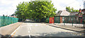
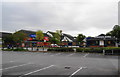
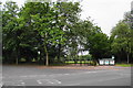
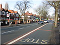
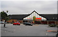
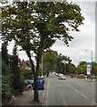
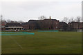
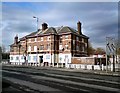
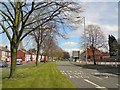
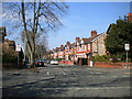
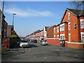
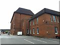
46 photos from this area
Area Information
Key information about the M19 2AG including its size, population, and administrative classification.
- Area Type
- Postcode
- Area Size
- 7957 m²
- Population
- 3735
- Population Density
- 7159 people/km²
House Prices in M19 2AG
23
Properties
£170,896
Average Sold Price
£31,500
Lowest Price
£340,000
Highest Price
Showing 23 properties
| Address | Type | Beds | Baths | Last Sale Price | Last Sale Date | |
|---|---|---|---|---|---|---|
| 44 Lindsay Avenue, Manchester, M19 2AG | Semi-detached | 3 | 1 | £336,000 | Mar 2023 | |
| 12 Lindsay Avenue, Manchester, M19 2AG | Semi-detached | 3 | 1 | £262,500 | Mar 2022 | |
| 48 Lindsay Avenue, Manchester, M19 2AG | house | 4 | 1 | £340,000 | May 2019 | |
| 18 Lindsay Avenue, Manchester, M19 2AG | Semi-detached | 3 | 1 | £236,150 | Nov 2015 | |
| 10 Lindsay Avenue, Manchester, M19 2AG | Semi-detached | 3 | 1 | £163,000 | Jul 2013 | |
| 24 Lindsay Avenue, Manchester, M19 2AG | house | - | - | £185,000 | Aug 2011 | |
| 34 Lindsay Avenue, Manchester, M19 2AG | house | - | - | £179,000 | Jun 2007 | |
| 30 Lindsay Avenue, Manchester, M19 2AG | house | - | - | £140,000 | Mar 2005 | |
| 36 Lindsay Avenue, Manchester, M19 2AG | Semi-detached | 4 | 4 | £146,000 | Jun 2004 | |
| 40 Lindsay Avenue, Manchester, M19 2AG | Semi-detached | 4 | 1 | £68,000 | May 2001 |
Page 1 of 3
Energy Efficiency in M19 2AG
Amenities
Schools
| Rank | School | Type | Entry gender | Ages |
|---|
Explore more schools in this area
Go to Schools tabDemographics
Household Size
Family (3-5 people)
most common
Accommodation Type
Houses
most common
Tenure
42
majority
Ethnic Group
White
most common
Religion
N/A
most common
Household Composition
N/A
most common
Age
22
median
Young Adults (15-29 years)
most common
Household Deprivation
N/A
with no deprivation
NS-SEC
12
in Lower managerial occupations
Explore more demographic insights in this area
Go to Demographics tabPlanning
Planning Constraints
- Flood RiskPremium
- Ramsar Wetland SitesPremium
- Area of Outstanding Natural BeautyPremium
- Protected Nature ReservePremium
- Protected WoodlandPremium